two-18th-century-european-coastal-maps-by-herman-moll
Lot 395
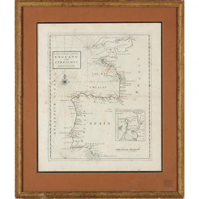
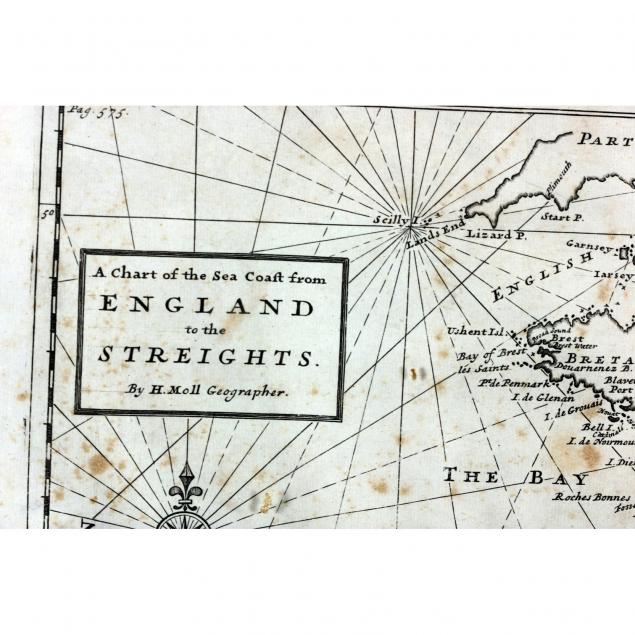
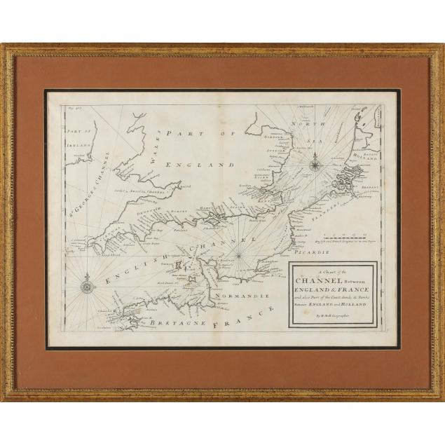
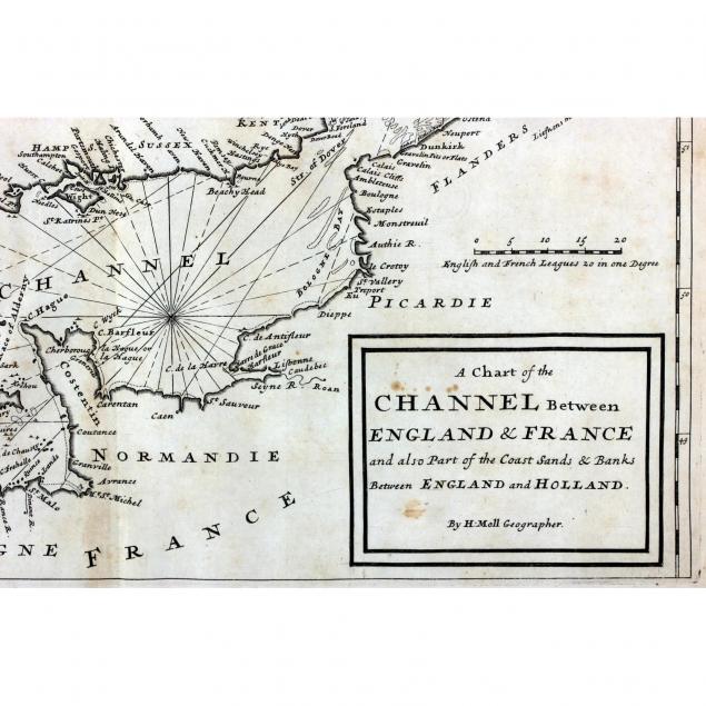
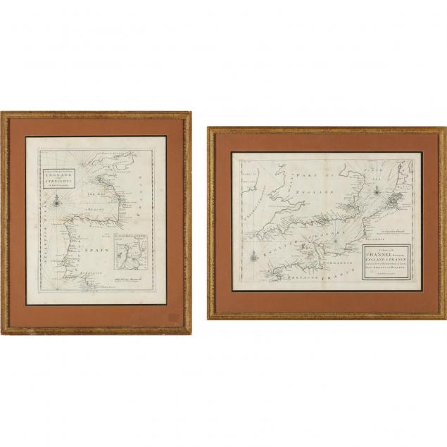
Two 18th Century European Coastal Maps by Herman Moll
Lot Details & Additional Photographs
London, before 1750, the first being A Chart of the Sea Coast From England to the Streights with Cadiz inset; the second titled A Chart of the Channel Between England & France and also Part of the Coast Sands & Banks Between England and Holland. Both maps are presented in matching gilt wooden frames.

DOA 22.5 x 18 in. and 18 x 22.5 in.

The Collection of Arthur Bennett Schram, Jr. of Pinehurst, North Carolina and Jupiter Island, Florida

Lightly tones paper with minor spotting.

$300 - 500