Lot 159
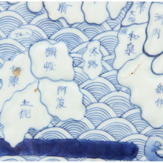
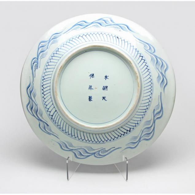
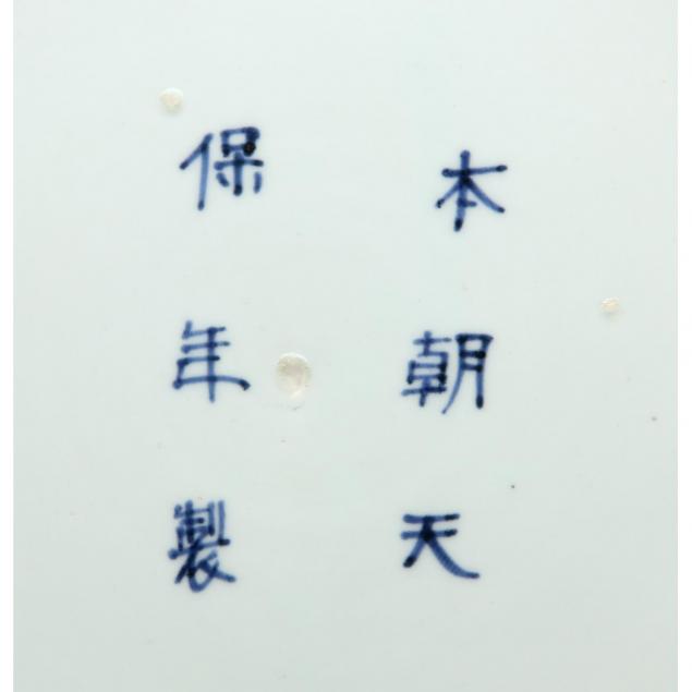
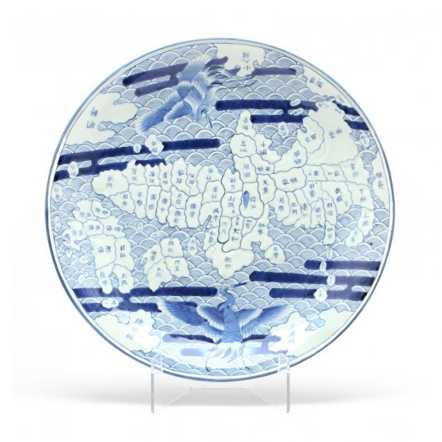
Important Japanese Arita Map Plate
Lot Details & Additional Photographs
Diameter: 18 7/8 in.
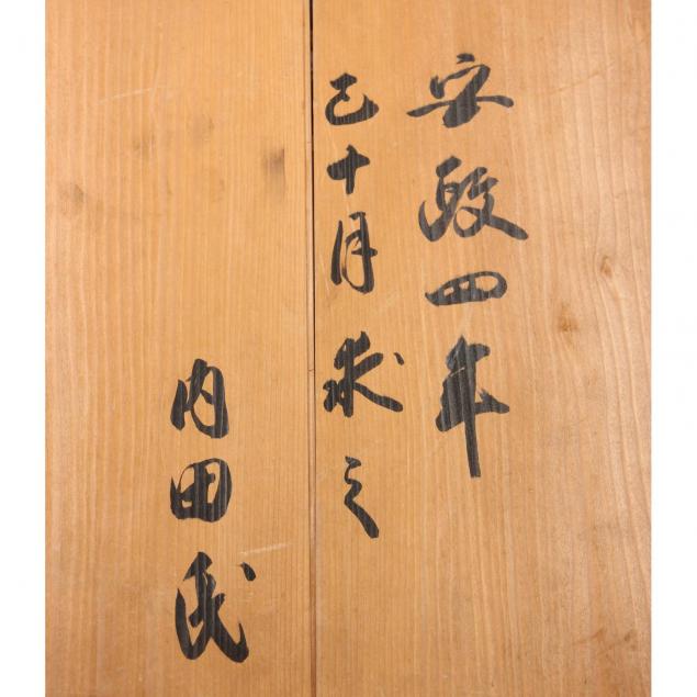
Collection of Doug Eyre, Professor Emeritus of Geography at University of North Carolina Chapel Hill. Given to him from the city of Hiroshima as a gift for his service to the city.
For two other map dishes in the collection of the Kyushu Ceramic Museum see Robert Singer, Edo: Art in Japan 1615-1868, exhibition catalog (Washington, D. C.: National Gallery of Art, 1998), plates. 141, 142; Also very similar Arita Map Plate in the Avery Brundage Collection at the Asian Art Museum in San Francisco (B72P1)
Excellent condition.
$1,000 - 1,500