Lot 42
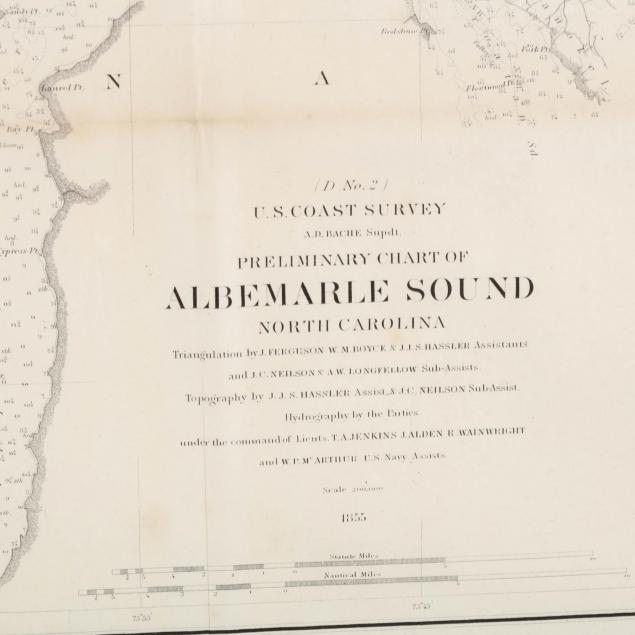
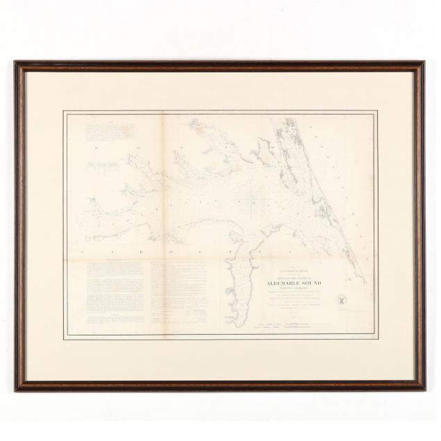
U. S. Coastal Survey Chart of Albemarle Sound, North Carolina
Lot Details & Additional Photographs
SS 16 x 22 in.; DOA 23 x 28.75 in.
Browning to folds; minor soiling; not examined out of the frame; very good overall condition.
$0 - 0