Lot Details & Additional Photographs
To include:
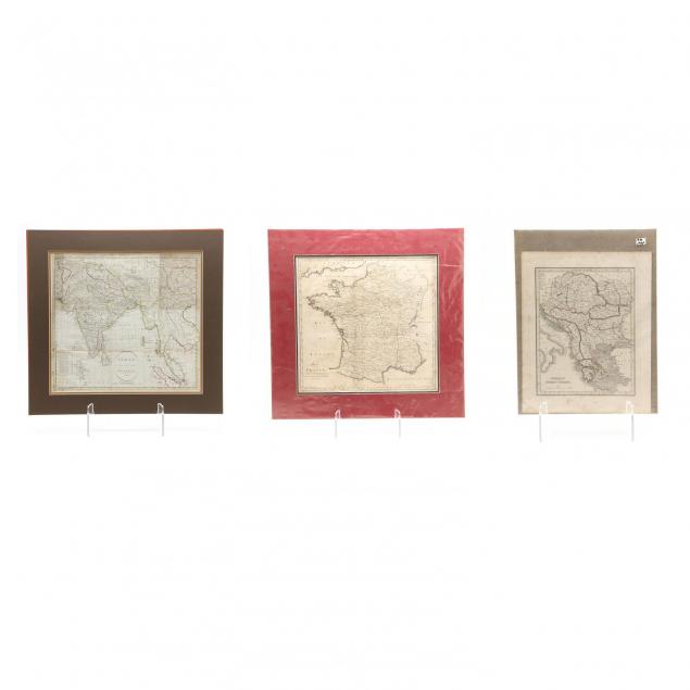
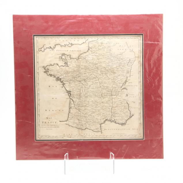
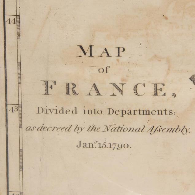
Map of France, Divided into Departments; as directed by the National Assembly, Jan'y 15. 1790 (London, 1795) (DOA 21.5 x 22 in.);
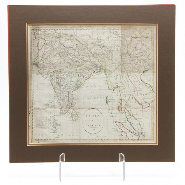
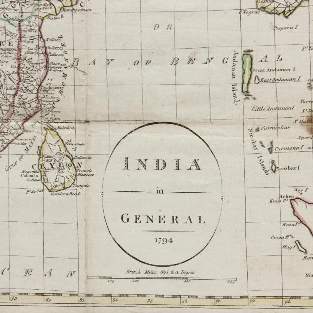
India in General / 1794 "Engraved for Jackson's Edition of Payne's Universal Geography," hand-colored engraving (DOA 18 x 18.75 in.); Thomas Bradford,
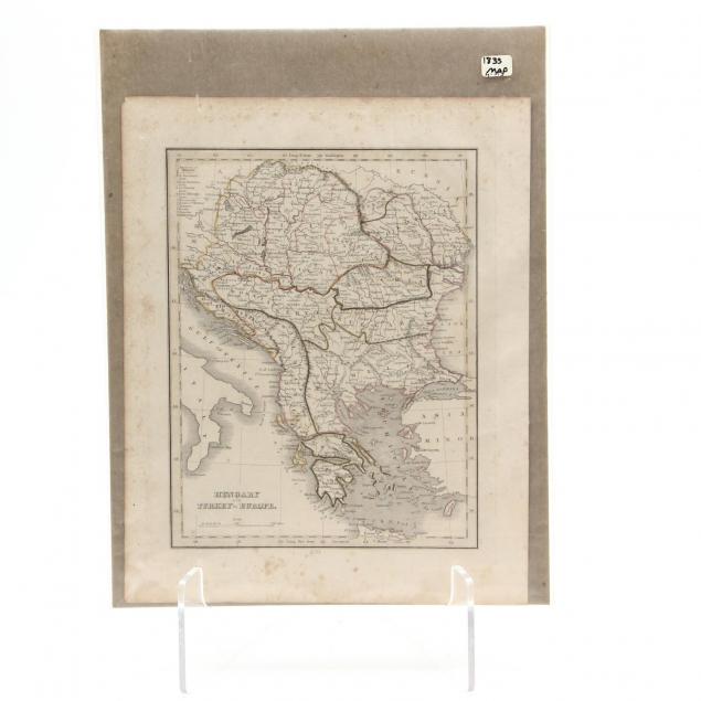
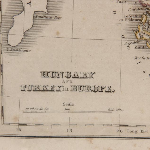
Hungary and Turkey in Europe, 1833; 12.75 x 10 in. (light foxing.)
Overall very good condition.
$0 - 0