late-18th-century-maryland-and-pennsylvania-maps
Lot 535
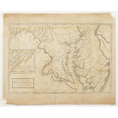
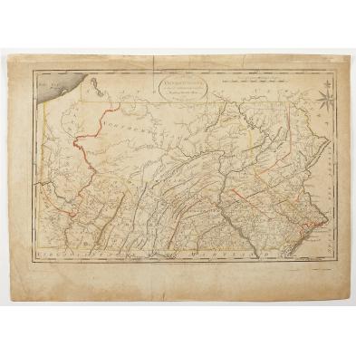
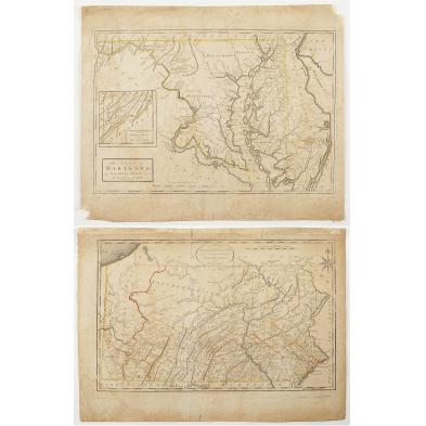
Late 18th Century Maryland and Pennsylvania Maps
Lot Details & Additional Photographs
Copperplate engravings, THE STATE OF MARYLAND and THE STATE OF PENNSYLVANIA by Samuel Lewis (Philadelphia: Mathew Carey, circa 1795), for the "American Edition of Guthrie's Geography improved." The Pennsylvania map is 14.75 x 20.5 in.; the Maryland map is 14.75 x 18 in.

The Pennsylvania map's borders and county lines are hand-colored.

Good impressions with light-to-moderate foxing throughout; loss to the lower left and upper right corners of the Maryland map.

$400 - 500