Lot Details & Additional Photographs
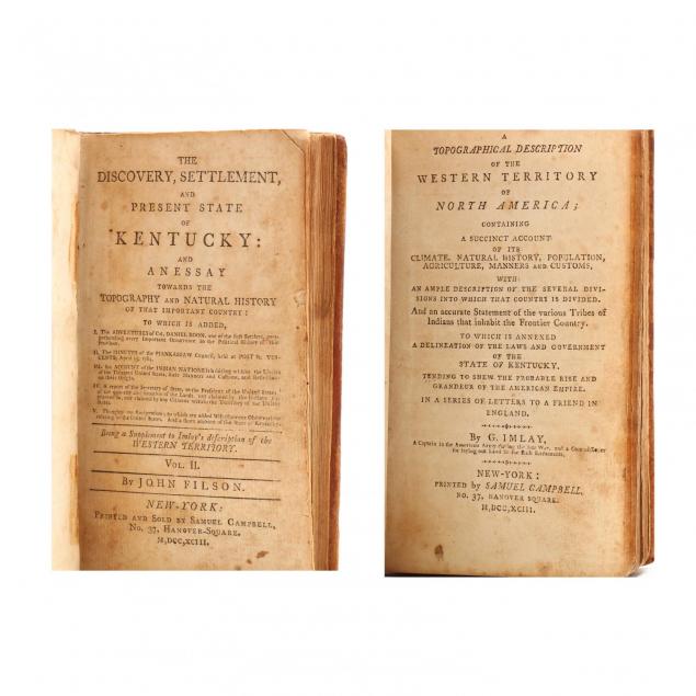
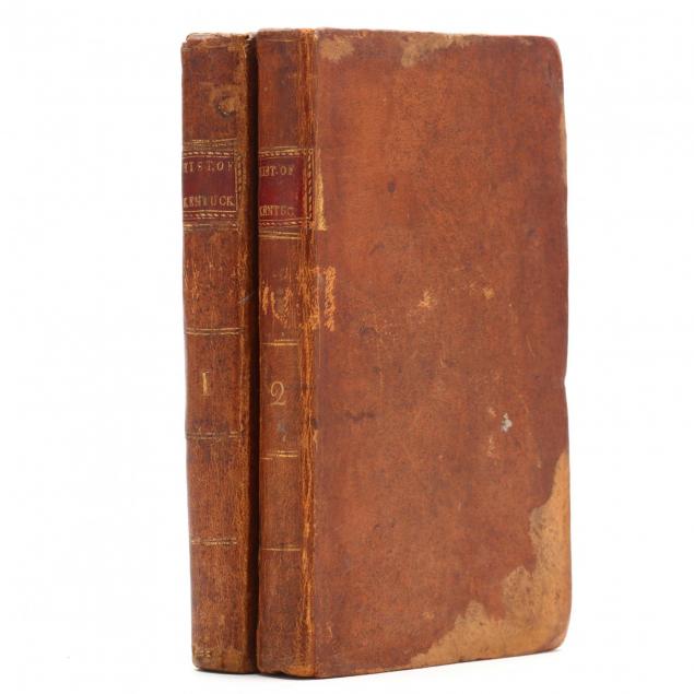
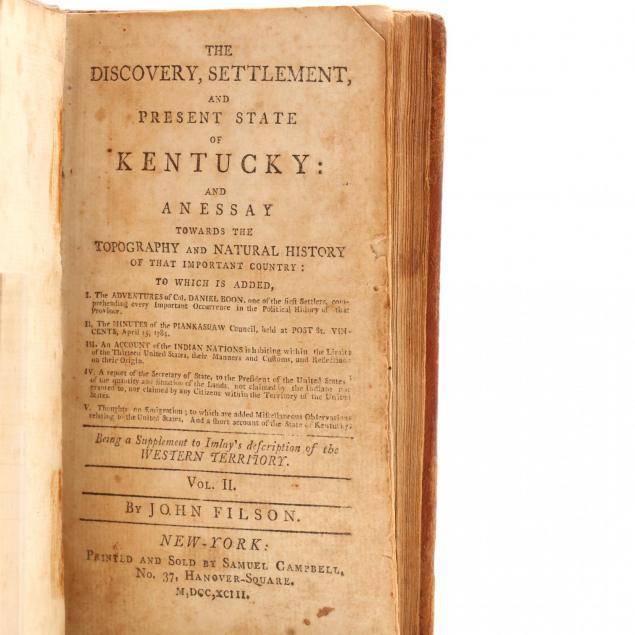
Printed as a two-volume set (New York: Samuel Campbell, 1793), duodecimo (6.75 in.), calf with gilt red morocco title plates. The first volume is: Imlay, G. (Gilbert).
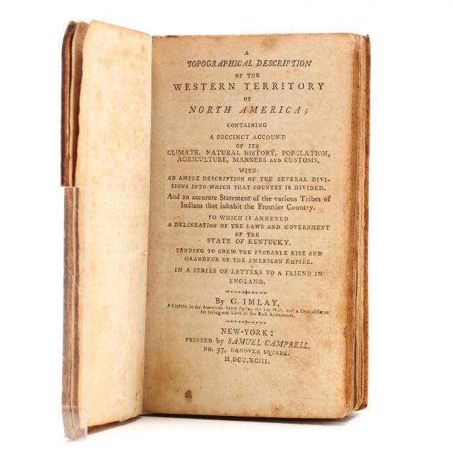
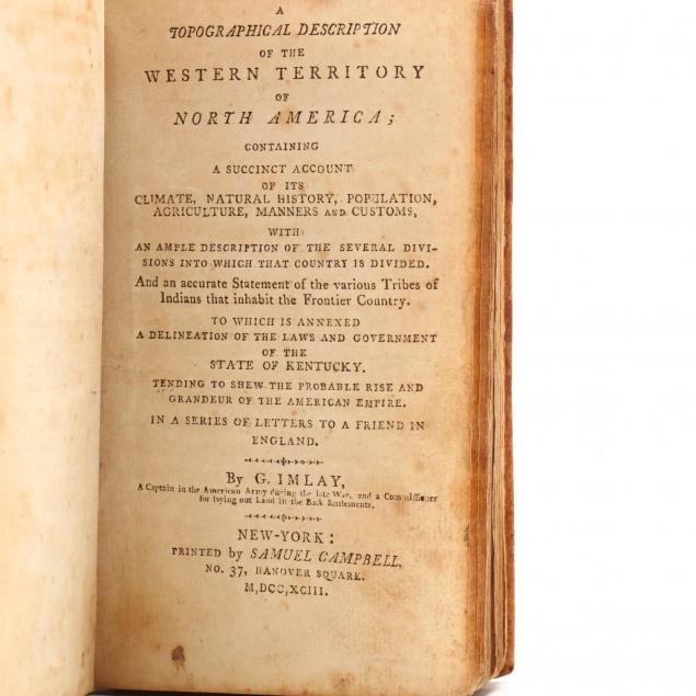
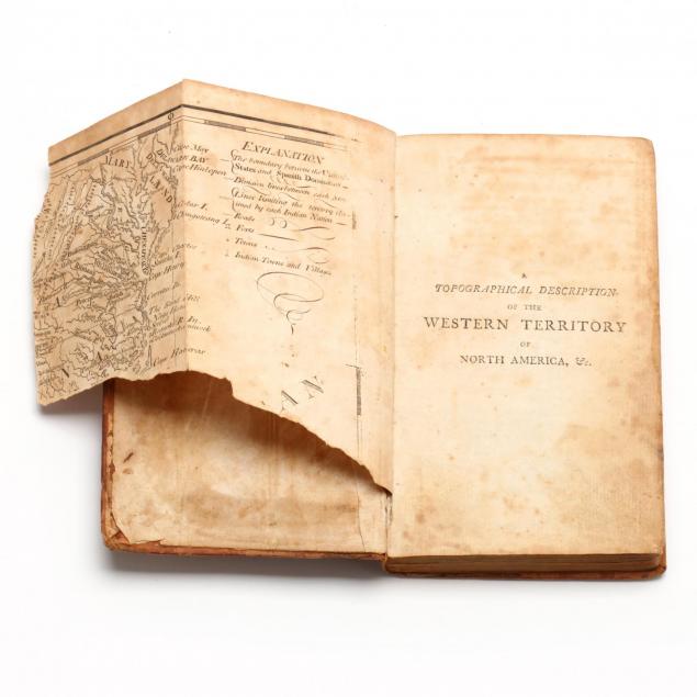
A Topographical Discussion of the Western Territory of North America...And an accurate Statement of the various Tribes of Indians that inhabit the Frontier Country. To Which is Annexed a Delineation of Laws and Government of the State of Kentucky...In a Series of Letters to a Friend in England, with partial fold-out map of the Southeastern United States (only portions of Maryland, Virginia and North Carolina remain) and another showing the "Rapids of the Ohio" (only two panels present); the second volume is: Filson, John.
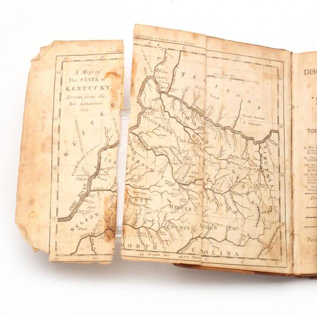
The Discovery, Settlement, and Present State of Kentucky; and an Essay Towards the Topography and Natural History of That Important Country," with a fold-out map of Kentucky (the third of three panels is separated, but present). Filson's 1784 discussion of Kentucky is here meticulously reprinted by Imlay to the point of retaining its original advertisement that is signed in print by Daniel Boon(e), Levi Todd, and James Harrod.
By descent from the library of the late John Earle Jones, Greenville, SC The physical descriptions and testimonials within these early works intentionally promoted expansion into America's sparsely settled "West," which, in 1793, extended only to the east bank of the Mississippi River.
The maps are damaged as already noted; tight binding; expected wear to boards; light stains with minor foxing. An attractive set in good condition.
$500 - 1,000