Lot Details & Additional Photographs
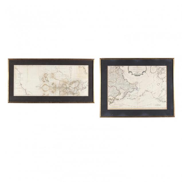
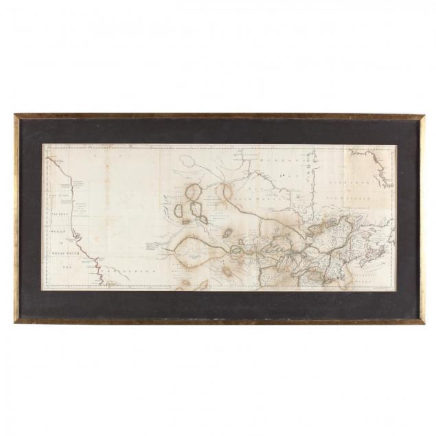
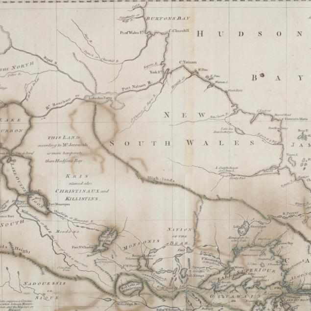
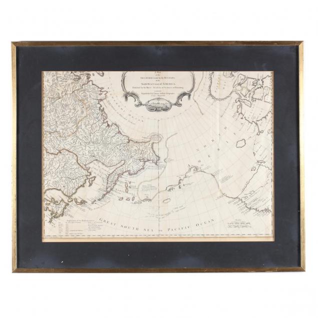
Copperplate engravings with outline color, to include:
A Map of Canada and the North Part of Louisiana with the Adjacent Countries, 1762 (Sheet 13.5 x 31.75 in.; DOA 18.25 x 35.5 in. in gilt frame ) (Stains, including some offsetting; uneven left edge);
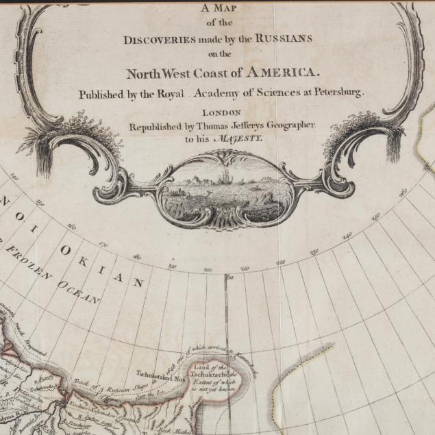
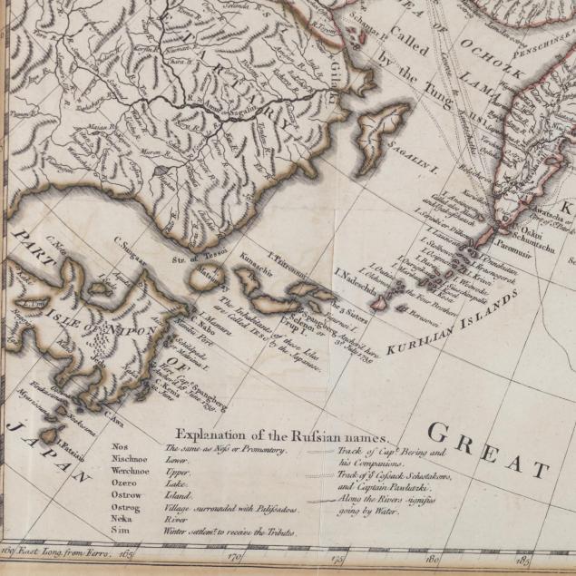
A Map of the Discoveries made by the Russians on the North West Coast of America, after Mueller, n.d., circa 1764, showing western Canada, Alaska, and Northeastern Asia. (Sheet 20 x 26 in.; DOA in gilt frame 24.25 x 30.75 in.) (Age toning; 3 in. split on one fold; .25 in. split with pinpoint of loss on lower edge.).
From the collection of the late Brien E. Kehoe, Washington, D.C. $500 - 1,000