jan-jansson-map-i-nova-anglia-nova-belgium-et-virginia-i
Lot 344
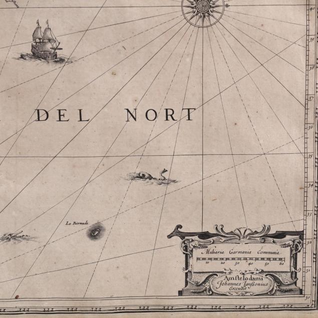
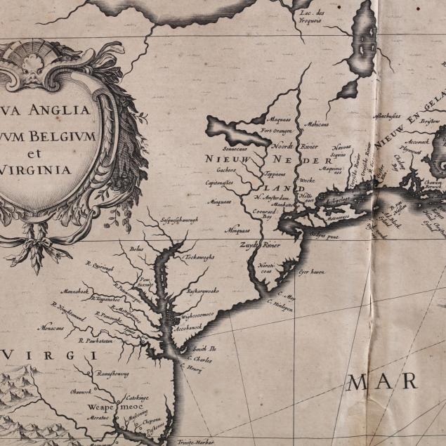
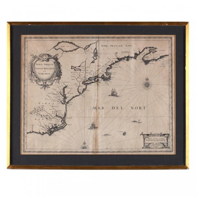
Jan Jansson Map, Nova Anglia Nova Belgium et Virginia
Lot Details & Additional Photographs
Uncolored copperplate engraving, Amsterdam, second quarter of the 17th century, from the Theatre du Monde ou Nouvel Atlas showing North America's Atlantic coast from Nova Scotia south to North Carolina, the verso's descriptive text is in English. This important map, derived from Johannes de Laet's work of 1630, names Massachusetts, New York City (as "N. Amsterdam") and Manhattan (as "Manbattes").


Sheet 18 5/8 x 22.5 in.; DOA in frame 19.5 x 24 in.

From the collection of the late Brien E. Kehoe, Washington, D.C.

Overall moderate browning; sheet's four edges pasted to the mat above; two pinholes near top center; stable condition with good margins.

$500 - 1,000