Lot Details & Additional Photographs
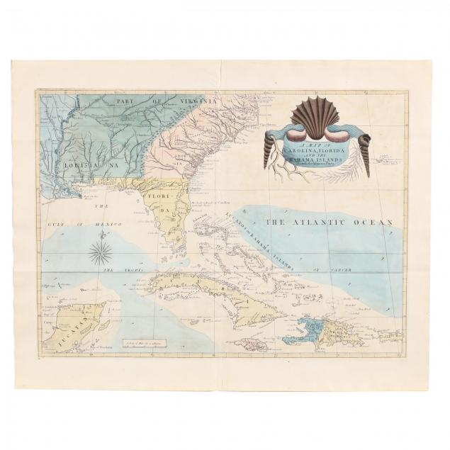
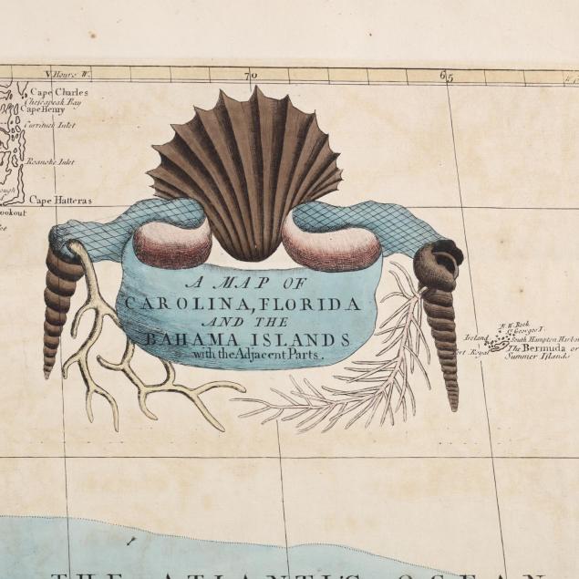
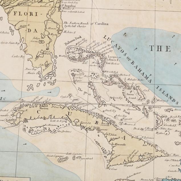
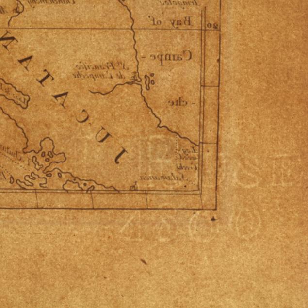
A Map of Carolina, Florida and the Bahama Islands with the Adjacent Parts, second state, 1815 or earlier, copperplate engraving with color, on wove paper having a "J. RUSE 1800" watermark reversed in the lower left corner, from
The Natural History of Carolina, Florida and Bahama Islands. The color scheme for Catesby's second edition of the map is used here to indicate the partition of French Louisiana between Spain and Britain in 1763 following the Seven Years' War. Spanish territory west of the Mississippi is colored blue while new British lands east of the river are now a light green. This large map is rendered in Catesby's singular style and is presented in a later gilt frame.
Sheet 21 3/16 x 26 1/8 in.; Plate 17.25 x 23 11/16 in.; DOA 23x29.7 in. framed.
From the collection of the late Brien E. Kehoe, Washington, D.C. Engravings of birds from this edition are known and carry an identical Ruse watermark.
Even, light age toning; overall very good condition; losses to frame's gilt.
$2,000 - 4,000