Lot 101
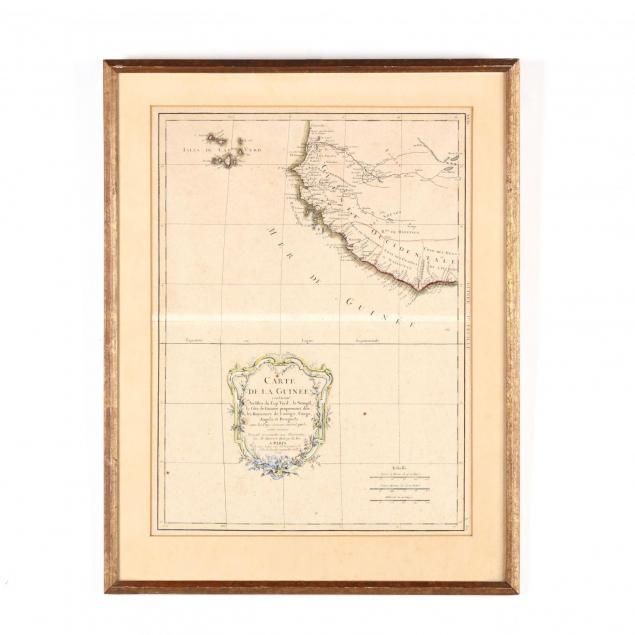
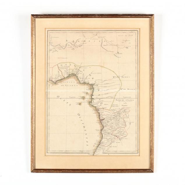
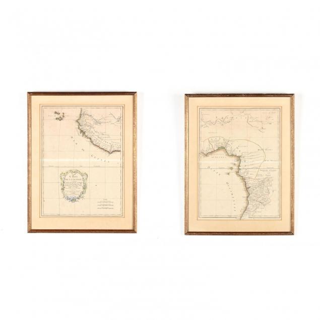
18th Century French Two-Part Map of the West African Coast
Lot Details & Additional Photographs
DOA 21.5 x 16.75 in.
From the Collection of Colette Gaudron, Southeast Asia & Chapel Hill, NC
Even light foxing throughout; not examined out of the frames.