Lot 334
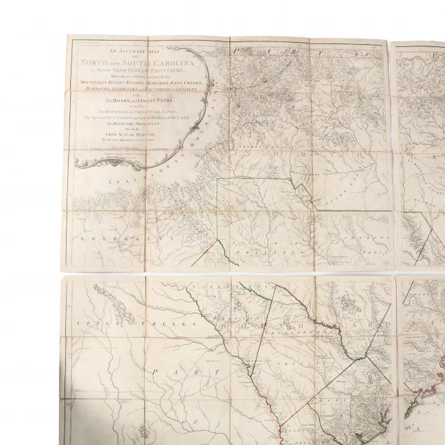
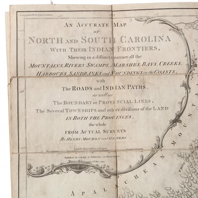
A Rare Folded 1794 Edition of Mouzon's Celebrated Map of the Carolinas
Lot Details & Additional Photographs
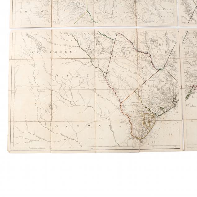
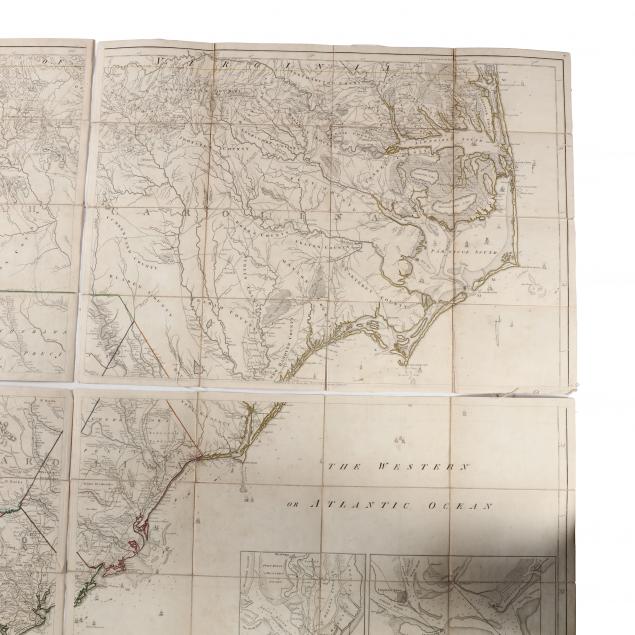
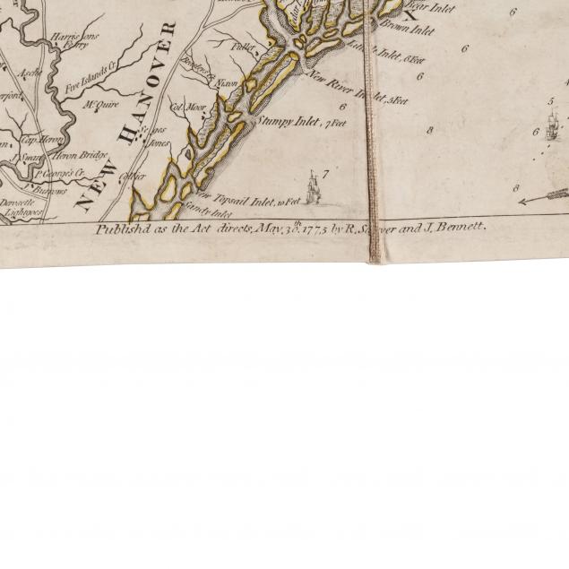
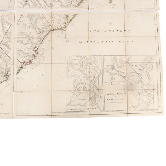
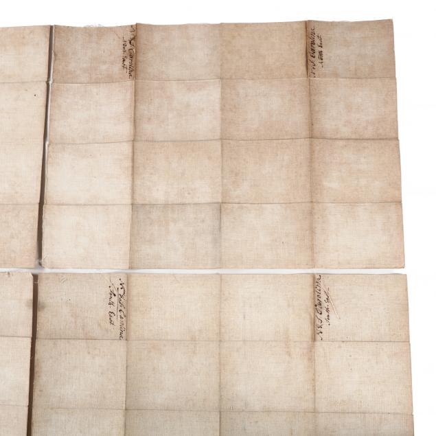
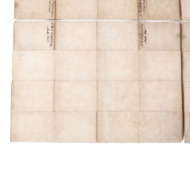
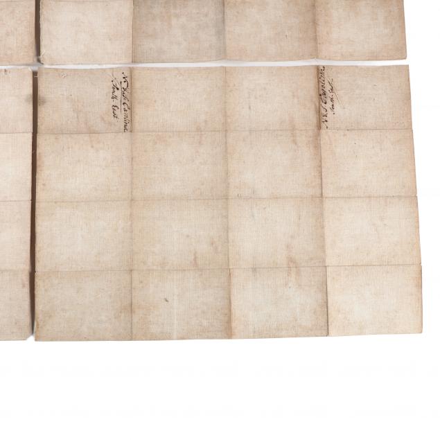
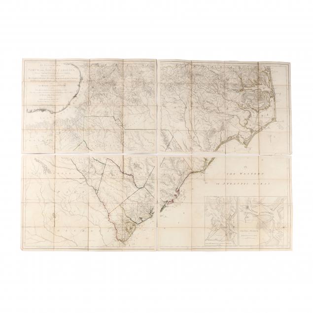
Publishers Laurie and Whittle used original 1775 Sayer & Bennett Mouzon plates with an updated cartouche for the 1794 edition of Thomas Jeffery's American Atlas. The lower margin of the present example's northeast quadrant, however, still has a 1775 publisher's line, which initially suggested this map could be a possible marriage of sheets from different editions. Two complete and original 1794 volumes of the American Atlas were consulted for comparison, one in the Special Collections Library at the University of Virginia and the other in private hands. Both of these bound Carolina maps have the 1794 Laurie & Whittle cartouche while retaining a 1775 line in the northeast quadrant, thus making a strong case that our Mouzon map is a true and complete 1794 edition as issued.
Each quadrant is 21 x 29.25 in.; DOA when placed together being 42 x 59.5 in.
From a private North Carolina collection
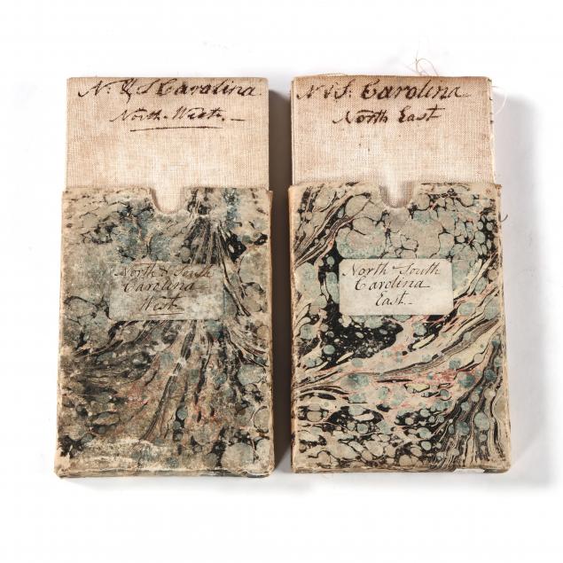
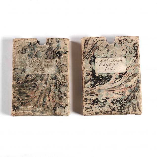
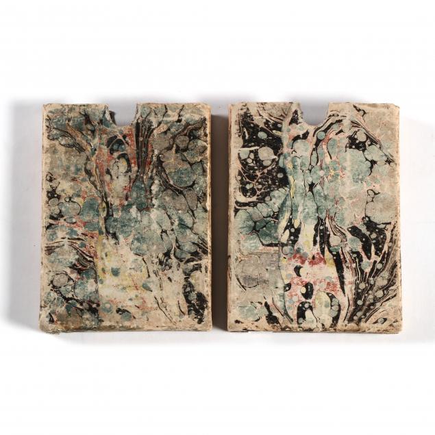
The Mouzon maps are valued for their accuracy and firsthand association with the American Revolution in the Carolinas. Heavily relied upon in the field by top strategists on both sides of the war, the Mouzon map saw widespread use into the early 19th century. The 1794 edition is much rarer than its predecessors, with the present example made even more elusive by being preserved in a saddlebag-ready format rather than having been framed for display.
All sheets retain full .5 in. margins; some splits to the linen along folds; overall age toning; very good condition.
$3,000 - 6,000