Lot 1228
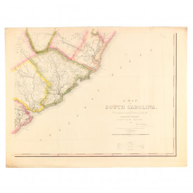
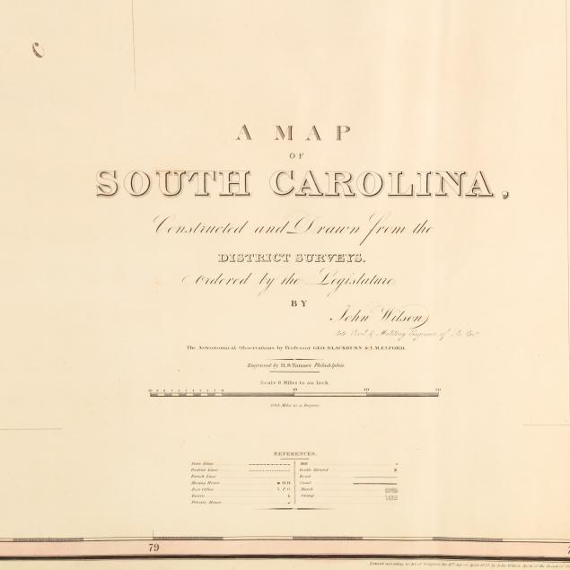
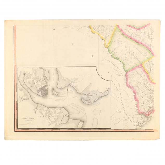
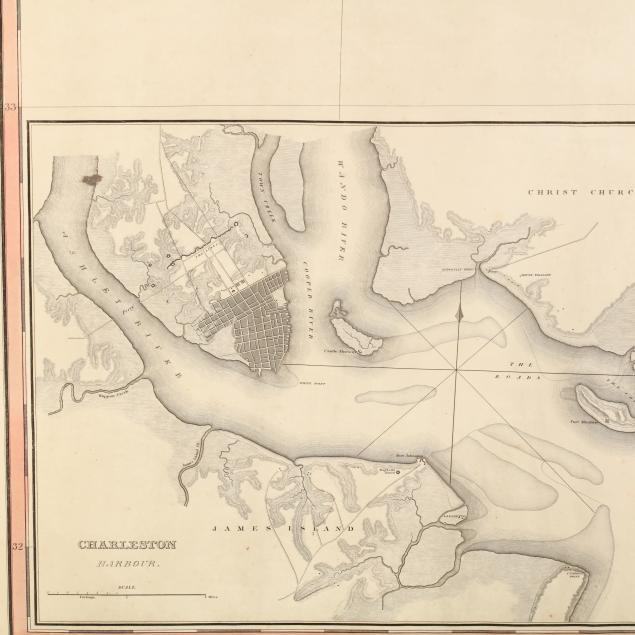
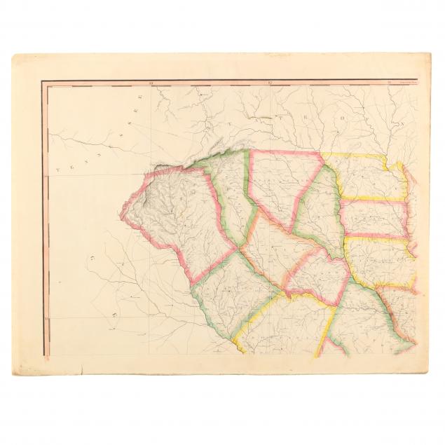
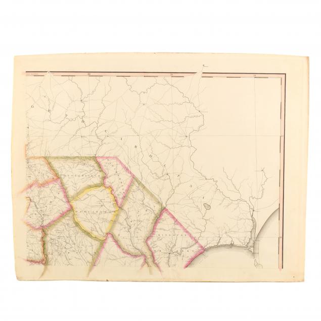
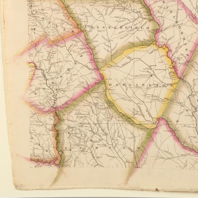
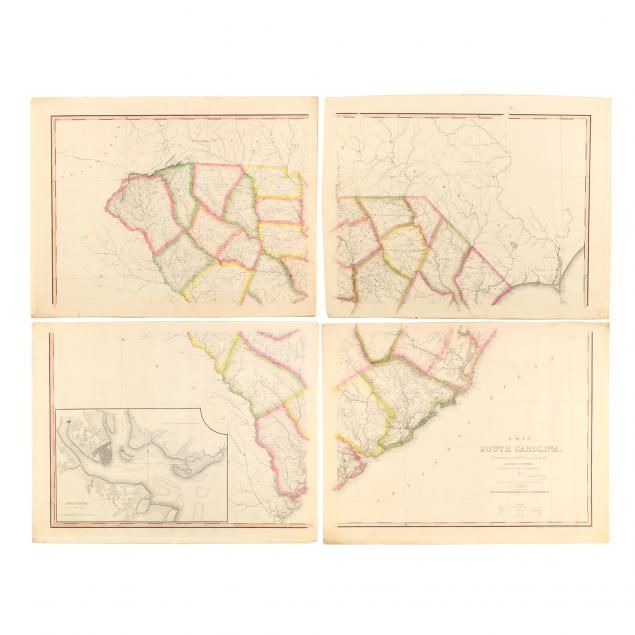
The First Official State Map of South Carolina
Lot Details & Additional Photographs
The SE, SW, and SW quadrant sheets are each 25.25 x 32 5/8 in.; the NE quadrant sheet is slightly larger at 25.75 x 32.75 in. The maps joined are approximately 50.5 x 65.25 in. altogether.
From a private North Carolina collection
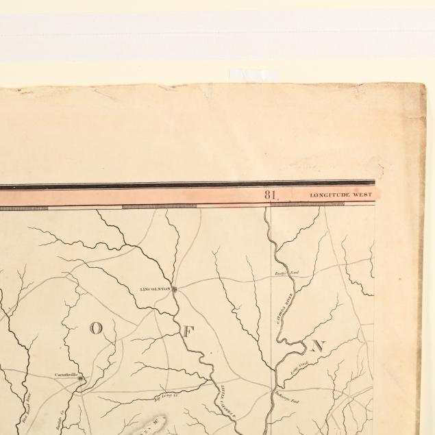
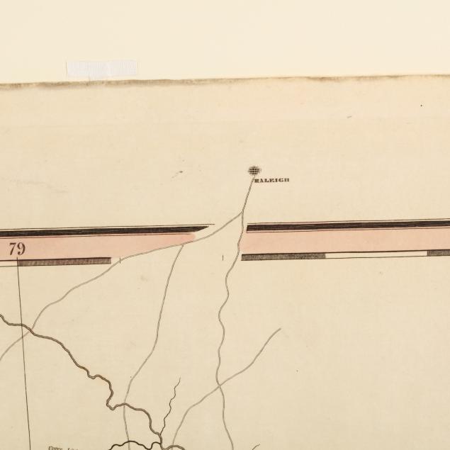
Wilson's map, in part a descendant of Mouzon's celebrated 1775 effort, is a compilation of the district surveys commissioned after the War of 1812 at the behest of the South Carolina General Assembly. Peace with Great Britain encouraged vigorous commerce to the point that the state's infrastructure had to be updated to meet ever-increasing demands. Detailed and accurate maps were essential in order to achieve this objective and give South Carolina a competitive edge in a growing world economy. This impressive map is very rare today.
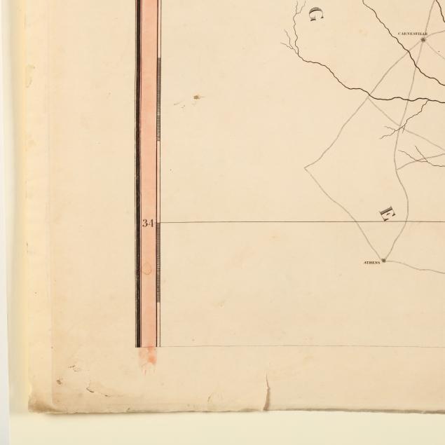
Each sheet has a very few small marginal splits not affecting its image area; the SW quadrant map with a crimped corner in the lower right; some areas of edge browning; overall clean and solid in very good or better condition.
$5,000 - 10,000