moll-herman-i-a-map-of-the-province-of-carolina-i
Lot 770
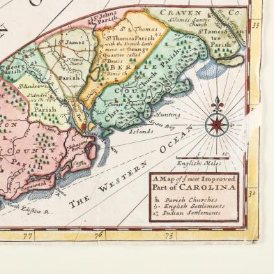
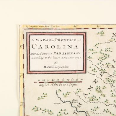
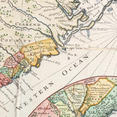
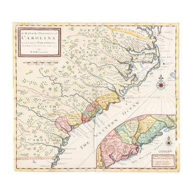
Moll, Herman. A Map of the Province of Carolina
Lot Details & Additional Photographs
Copperplate engraving with hand-color (London, 1730), depicting North and South Carolina extending from the Virginia line all the way to Florida, with an inset map showing Charleston and adjoining areas as the "...most Improved Part of Carolina." Behind mat and unframed.

Sheet 14.25 x 15.5 in.

From a private North Carolina collection

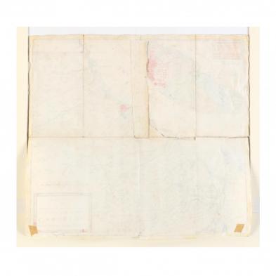
Splits along most of the folds outlining the lower right quadrant; trimmed to the plate leaving no margins.