Lot Details & Additional Photographs
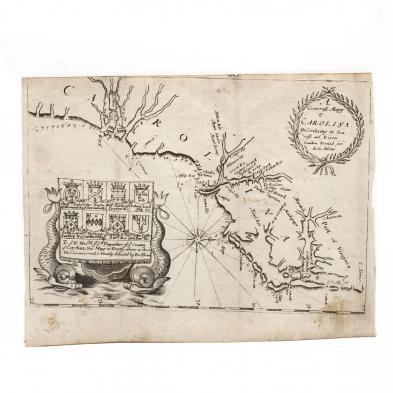
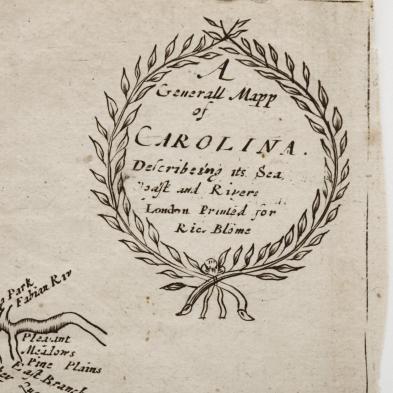
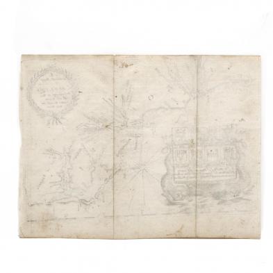
...Describing its Sea, Coast and Rivers / London Printed for Ric. Blome (London, 1672-1687), copperplate engraving from
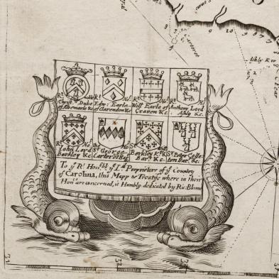
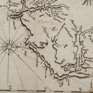
A Description of the Island of Jamaica, unframed. This important second map of Carolina is shows the future provinces of North and South Carolina as one colony under the Lords Proprietors. The map is oriented to the west, which is at its top.
7 x 9 1/8 in.
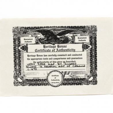
A very rare map with no apparent auction records in recent decades.
Nearly full margins, yet closely trimmed; three vertical fold lines and some light stains.