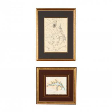
Lot Details & Additional Photographs
As follows:
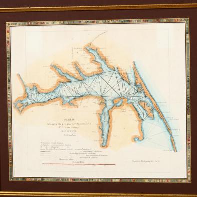
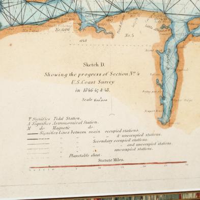
Sketch D Showing the progress of Section No 4 U. S. Coast Survey in 1846-47 & 48 (Washington, 1849), steel engraving of Albemarle Sound with hand color, behind mat in frame (DOA 16.25 x 17.25 in.);
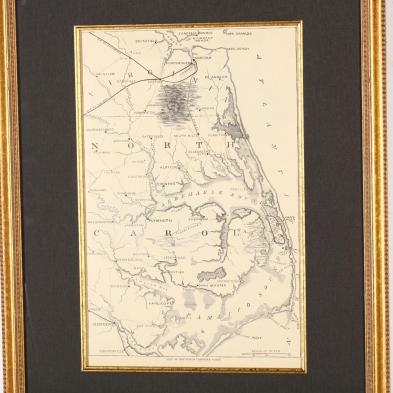
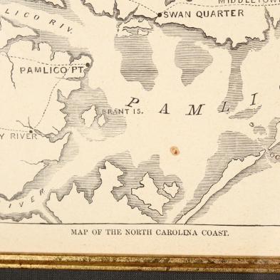
Map of the North CarolinaCoast (New York, circa 1862), from
Harper's Weekly, behind mat in frame (DOA 22.5 x 17.25 in.).
Good estate condition; not examined out of the frames.