Vintage Self-Published Illustrated Map of North Carolina
Lot Details & Additional Photographs
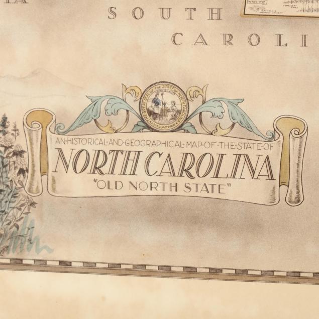
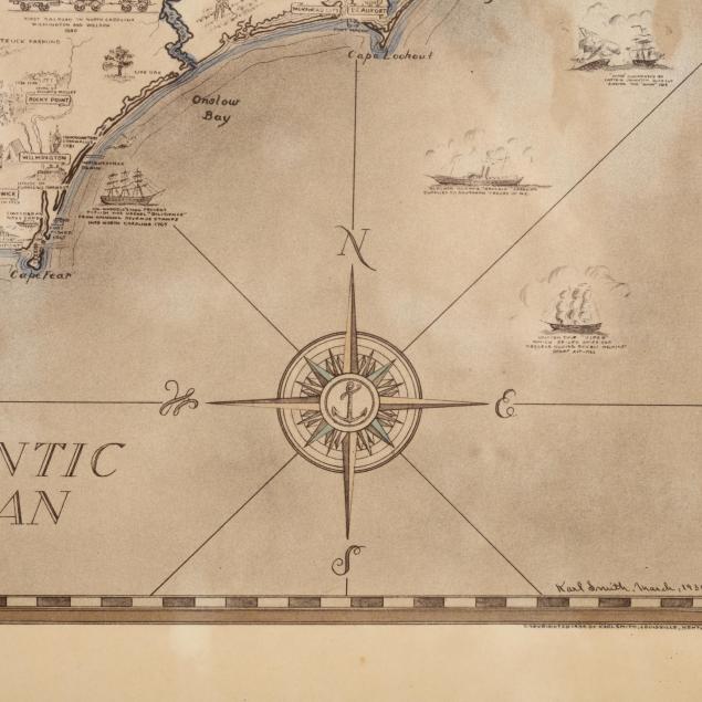
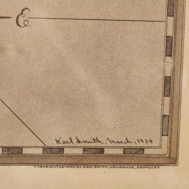
An Historical and Geographical Map of the State of North Carolina, (Lousiville, Kentucky: Karl Smith, 1934), illustrated throughout with points of historical, natural and agricultural interest. Presented in its original gilt wooden frame with New York Frame & Picture Co. label.