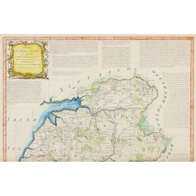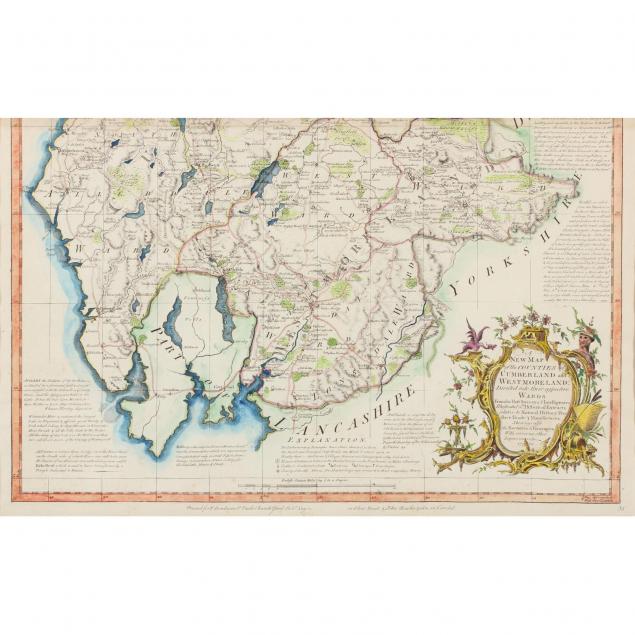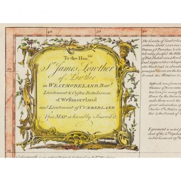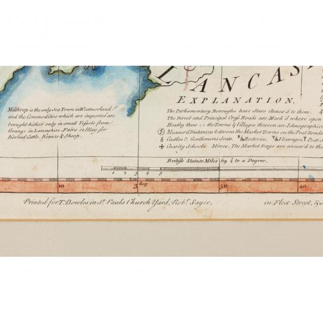
Lot 1112
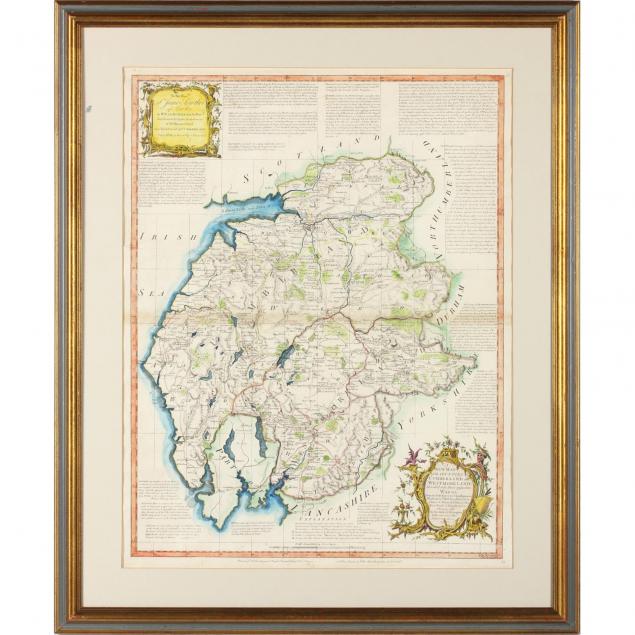
Thomas Bowles Map of Cumberland and Westmorland
Explore more items like this one.
Visit our Prints, Multiples & Photographs Department Prints, Multiples & Photographs
Lot Details & Additional Photographs
SS 27.5 x 21 3/8 in.; DOA 35 x 29 in.
Light peripheral age toning; not laid down.
$200 - 400