early-19th-century-english-map-of-the-eastern-seaboard-virginia-to-maine
Lot 791
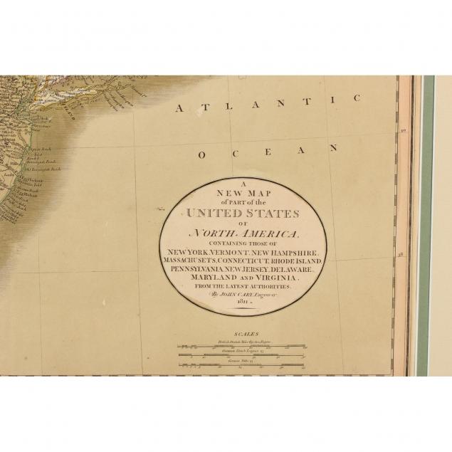
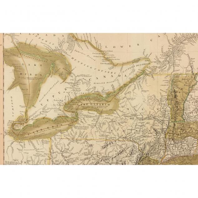
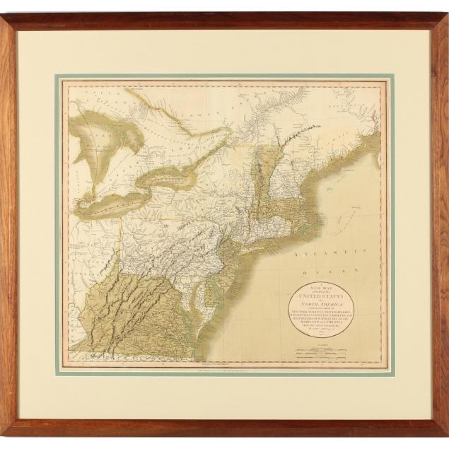
Early 19th Century English Map of the Eastern Seaboard, Virginia to Maine
Lot Details & Additional Photographs
A NEW MAP OF PART OF THE UNITED STATES OF NORTH AMERICA, CONTAINING THOSE OF NEW YORK, NEW HAMPSHIRE, MASSACHUSETTS, CONNECTICUT, RHODE ISLAND, PENNSYLVANIA, NEW JERSEY, DELAWARE, MARYLAND AND VIRGINIA FROM THE LATEST AUTHORITIES (London: John Cary, 1811), a hand-colored copperplate engraving with eastern Ohio shown as "The Western Territory" and Maine as "District of Main." Presented in a wooden frame.

Sheet 21.5 x 25.25 in.

Not laid down; overall age toning; small 1 in. split to right edge.

$200 - 300