Lot Details & Additional Photographs
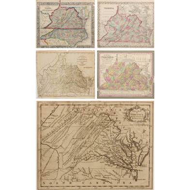
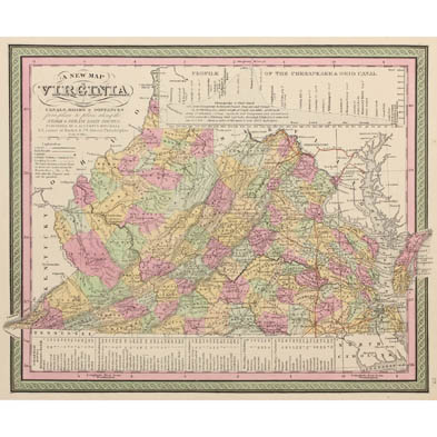
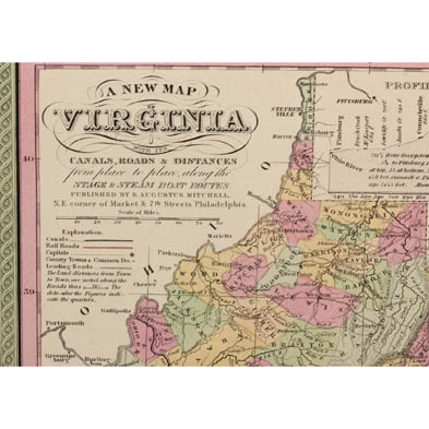
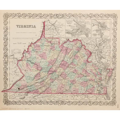
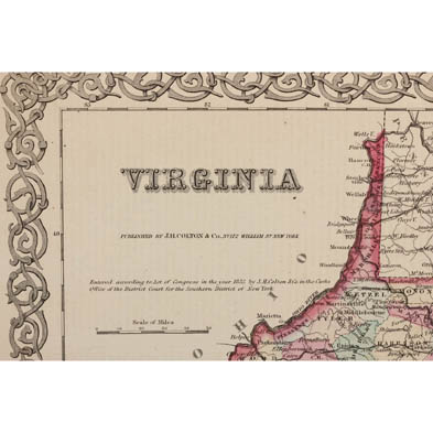
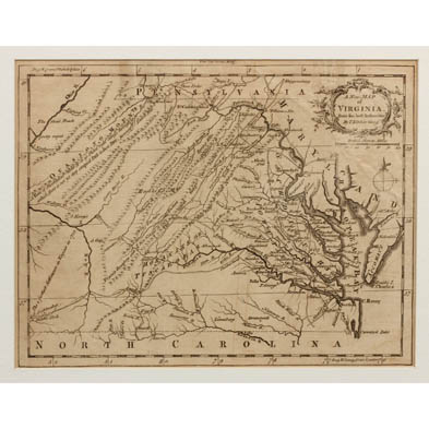
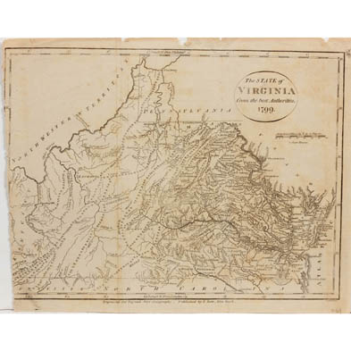
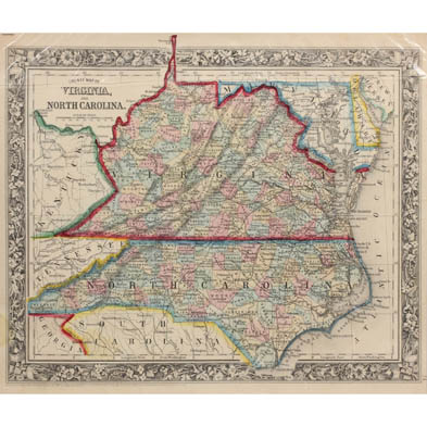
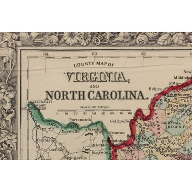
To include: "A New Map of Virginia from the best Authorities" by Thomas Kitchin, circa 1755, in mat with shrink wrap (DOA 10.5 x 12 in.); "The State of Virginia from the best Authorities, 1799," from Payne's New Geography (8.25 x 10 in.); "A New Map of Virginia" by S. Augustus Mitchell, 1849 (13.75 x 17.5 in.); "Virginia" by J. H. Colton, 1859 (14.5 x 17.5 in.); "County Map of Virginia and North Carolina" by S. Augustus Mitchell, 1860 (11.75 x 13.5 in.). Plus a 30pp. octavo extract from Morse's Geography, 1796 which provides an in-depth look at Virginia, including county-by-county slave schedules.
The Estate Collection of Dr. & Mrs. R. Lewis Wright, Richmond, VA
Some minor edge imperfections; overall good condition.
$0 - 0