Lot 333
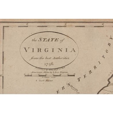
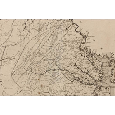
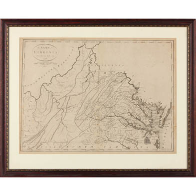
18th Century American Map of Virginia
Explore more items like this one.
Visit our Prints, Multiples & Photographs Department Prints, Multiples & Photographs
Lot Details & Additional Photographs
SS 14 x 18.75 in.; 19 x 23.5 in.
The Estate Collection of Dr. & Mrs. R. Lewis Wright, Richmond, VA
Light and even age toning.
$0 - 0