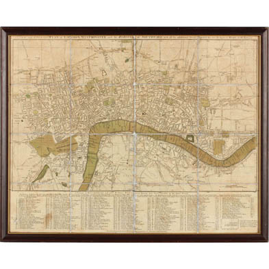
Lot 494
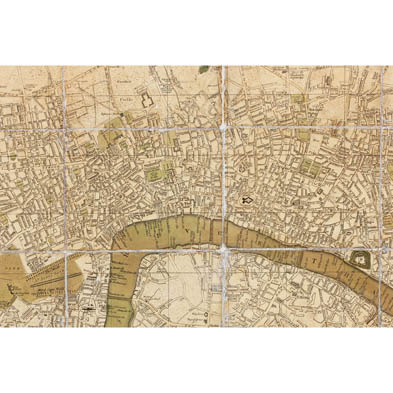
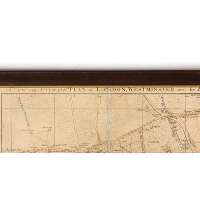
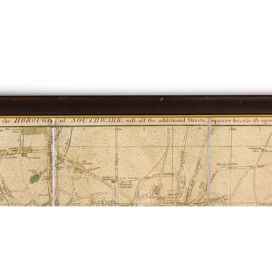
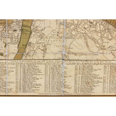
Late 18th Century Folding Map of London
Explore more items like this one.
Visit our Prints, Multiples & Photographs Department Prints, Multiples & Photographs
Lot Details & Additional Photographs
DOA 18.25 x 22.75 in.
The Estate Collection of Dr. & Mrs. R. Lewis Wright, Richmond, VA
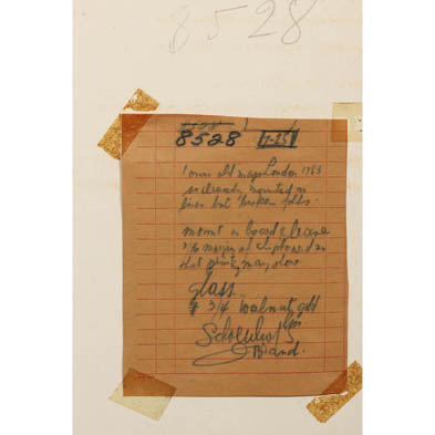
Laid to a board; a few stains.
$0 - 0