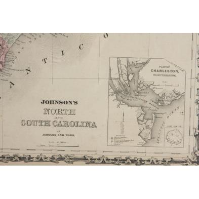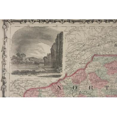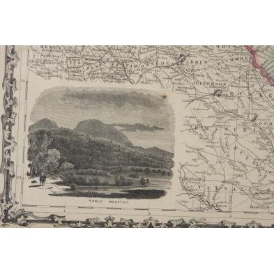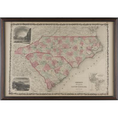
Lot 475
Map, "Johnson's North and South Carolina,"
Explore more items like this one.
Visit our Prints, Multiples & Photographs Department Prints, Multiples & Photographs
Lot Details & Additional Photographs
SS 17.75" x 26"; DOA 20" x 28"
Even toning,a few trivial spots.
$150 - 300