Lot 296
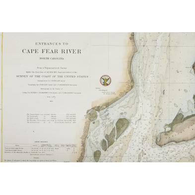
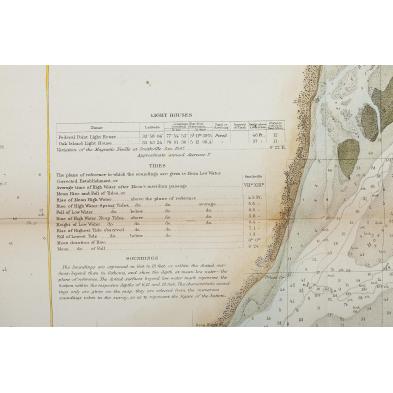
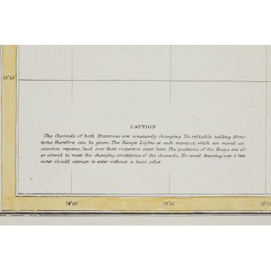
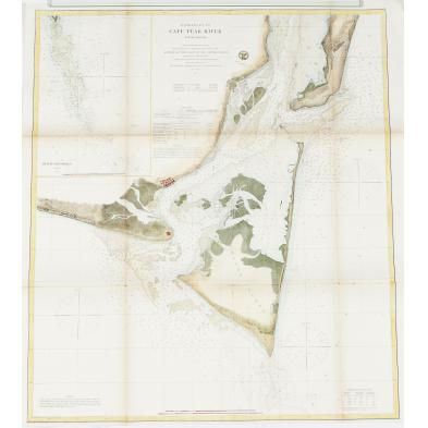
19th Century Map of NC's Cape Fear and Vicinity
Explore more items like this one.
Visit our Prints, Multiples & Photographs Department Prints, Multiples & Photographs
Lot Details & Additional Photographs
32 x 27.75 in.
Quite colorful when compared to the usual Survey maps of the era.
Splits on folds; light stains along creases; overall very good.
$200 - 400