1696-mortier-maps-from-jaillot-s-atlas-nouveau
Lot 647

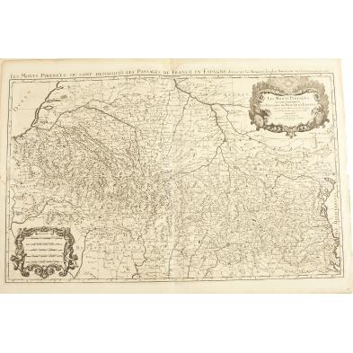
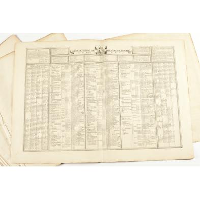
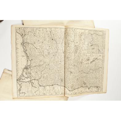
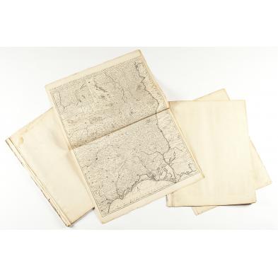
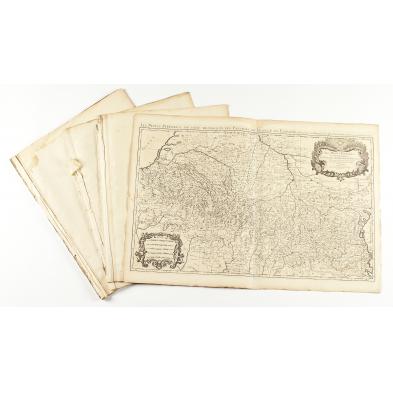
1696 Mortier Maps From Jaillot's Atlas Nouveau

Explore more items like this one.

Visit our Prints, Multiples & Photographs Department Prints, Multiples & Photographs
Lot Details & Additional Photographs
A collection of (15) double-page monochrome folio maps by Alexis-Hubert Jaillot (1632-1712) after Nicolas Sanson and published in Amsterdam by Pierre Mortier in 1696. Supplementing the maps are an index and a distance chart, these also folios in a double-page format. Among the locations represented here are Champagne, Alsace, Bretagne, Orleans, Paris, Provence, Lorraine, Chartres and an overall map of France. Many of these works have Baroque cartouche dedications to Louis XIV and/or the Dauphin.

Sheet 24.5 x 18 in.

(13) of the maps remain bound together as originally presented.

Overall very good condition; some areas with light foxing, damp stains, creases.

$1,200 - 1,800