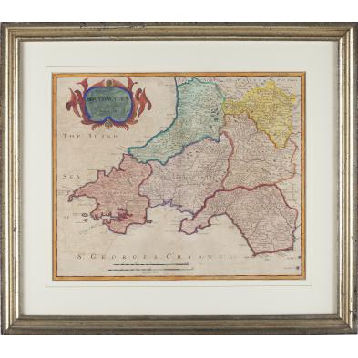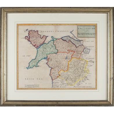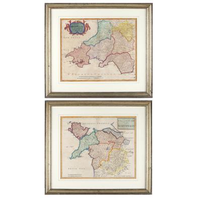
Lot 438
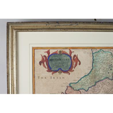
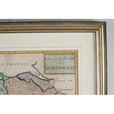
Late 17th century Robert Morden Maps of Wales
Lot Details & Additional Photographs
DOA 21 x 24 in.
Clark Art Gallery (founded 1923), Raleigh, North Carolina
Both maps have been lifted from an earlier backing, resulting in glue residue and 20th century paper remnants covering their backs.
$200 - 400