Lot Details & Additional Photographs
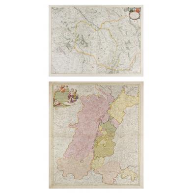
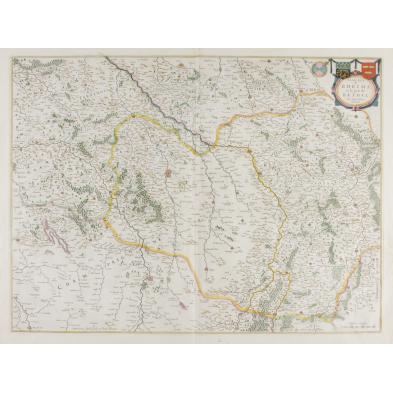
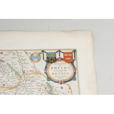
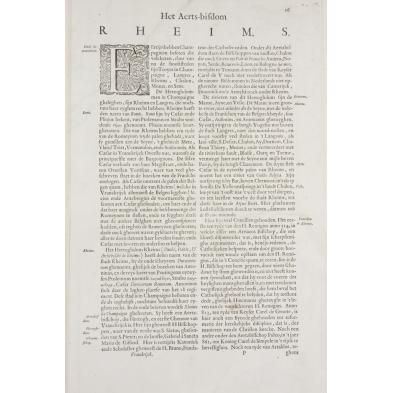
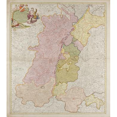
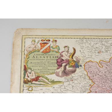
Both hand-colored engravings, the first "Dioecese de Rheims, et le pais de Rethel" by Willem and Joan Blaeu, Amsterdam, circa 1650, depicts Rheims and surrounding villages, Dutch text en verso. 20.5 x 24 in., unframed, small area of loss to left margin, overall light soiling; the second map "Land Gaviatus Alsatiae," by Johann Homann (1664 - 1724), Nuremberg, 24.75 x 21 in., early 18th century, depicts the Rhine's Alsace region, variously claimed by France and Germany; browning to edges with a few tiny marginal splits.
$200 - 300