i-a-map-of-kentucky-drawn-from-actual-observations-by-john-filson-i
Lot 345
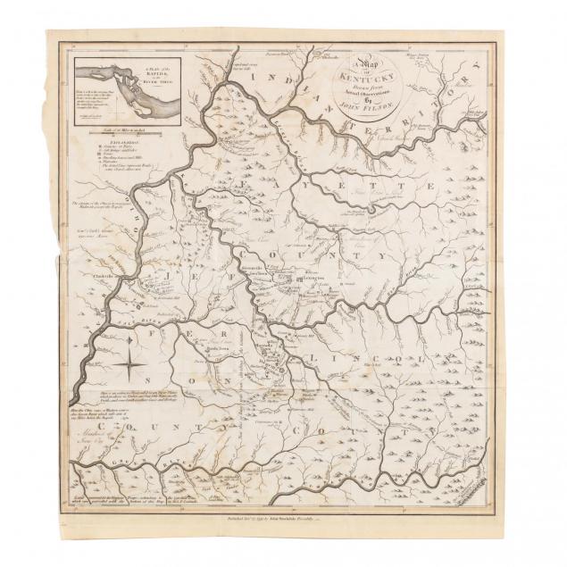
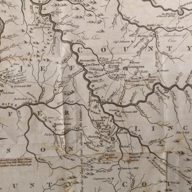
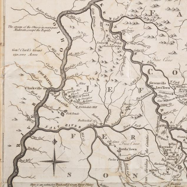
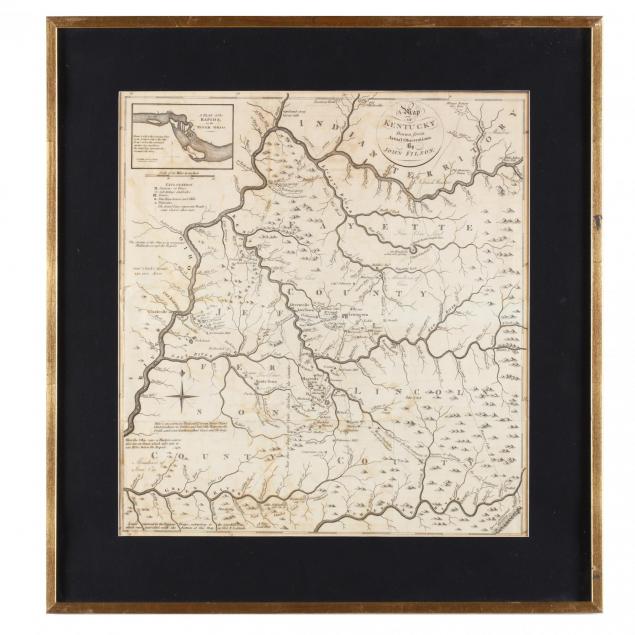
A Map of Kentucky Drawn From Actual Observations by John Filson
Lot Details & Additional Photographs
(London: John Stockdale, 1793), an uncolored copperplate engraving based on Filson's famous map of 1784, Kentucky's central region being divided into Fayette, Jefferson and Lincoln Counties; larger towns and settlements such as Louisville and Lexington are shown, with mills, forts, roads, prominent homes, and even "wigwams" being noted. An inset, specific to this edition, shows "A Plan of the Rapids in the River Ohio." Notable highways depicted include the "great Wilderness" road from Virginia, the "Warriors Path" south from "Indian Territory," and "Genl Clarks War Road." Presented in a later gilt wooden frame.

Sheet 20 7/8 x 18 7/8 in.

From the collection of the late Brien E. Kehoe, Washington, D.C.

This detailed map was published the year after Kentucky became the nation's 15th state. It is extremely rare today with most of the few surviving copies being held tightly by institutions and serious collectors.

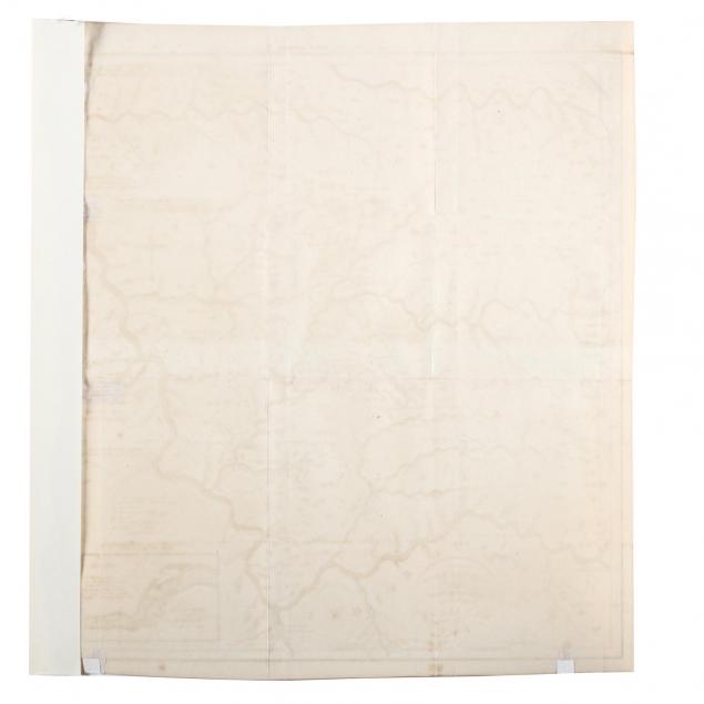
Uneven and close trim to left edge with an archival strip of paper added for stability; fold creases as made; overall light toning; quite solid; losses to gilt on frame.

$2,000 - 4,000