Lot 97
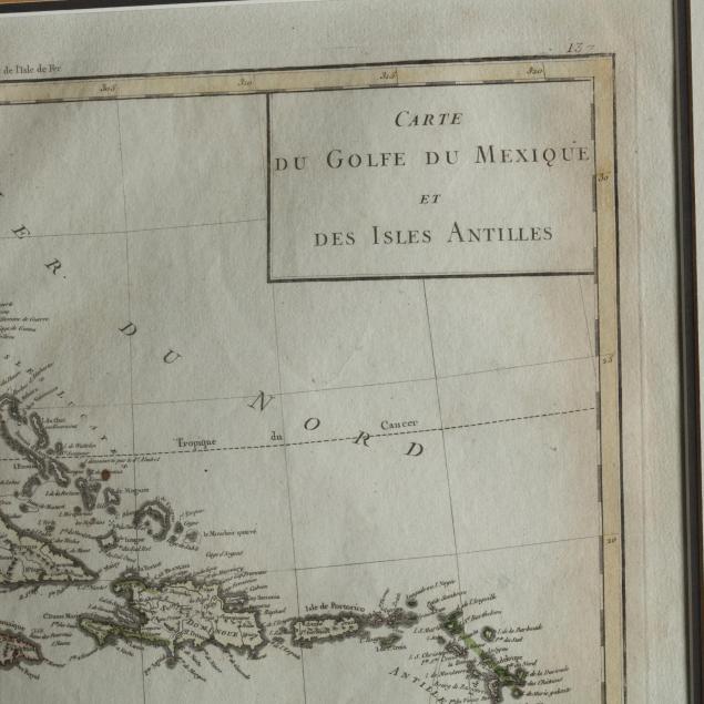
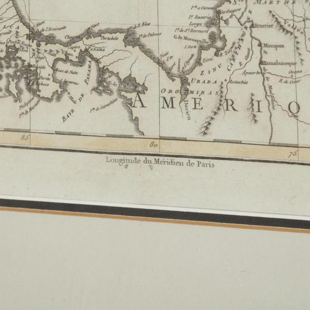
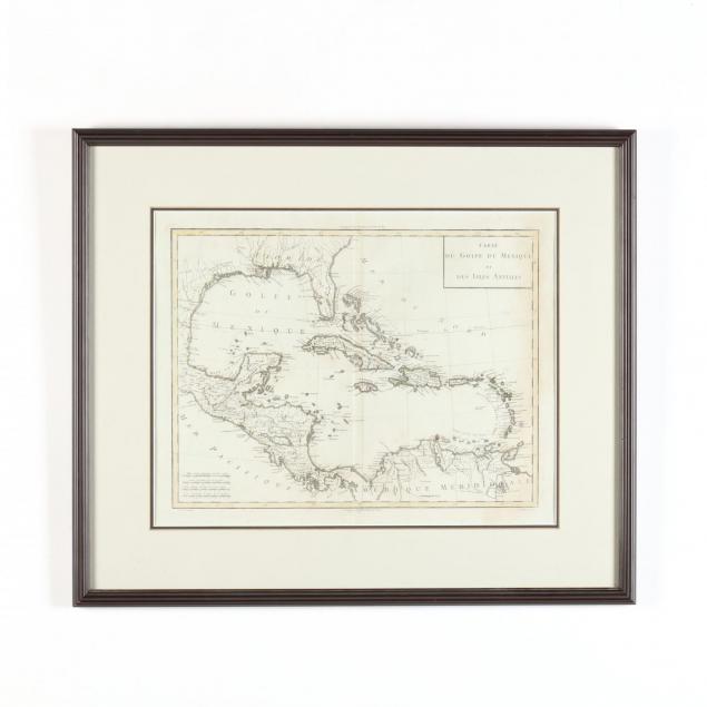
Napoleonic Era French Map of the Caribbean and Its Environs
Explore more items like this one.
Visit our Historical Department Historical
Lot Details & Additional Photographs
DOA 21.75 x 25.75 in.
The Estate of William Lee Pritchard, M.D., Charlotte, NC
Not examined out of the frame; clean appearance with full margins.