18th-century-english-sea-chart-of-the-eastern-mediterranean
Lot 2039
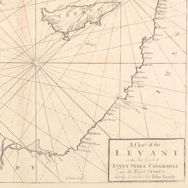
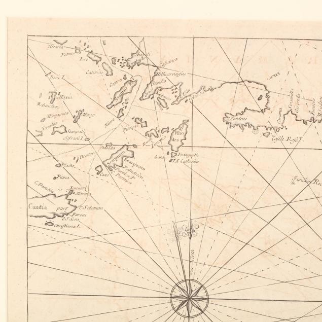
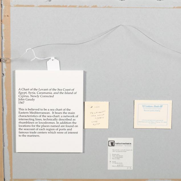
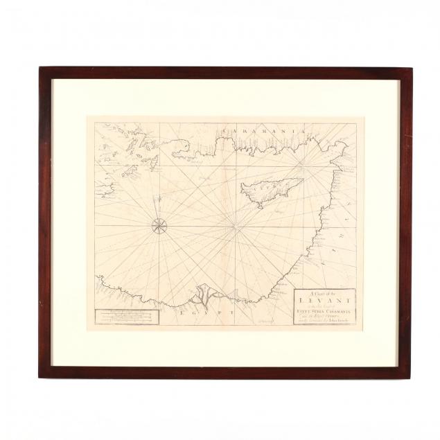
18th Century English Sea Chart of the Eastern Mediterranean
Lot Details & Additional Photographs
A Chart of the Levant or the Sea Coast of Egypt Syria Caramania and the Island Cyprus newly corrected by John Gaudy from The English Pilot, Part III (London: Mount & Page, 1736), copperplate engraving, blank verso. Presented in a plain wooden frame with Graham Arader III gallery plate.

DOA 24.5 x 29.25 in.; SS 16.75 x 21.5 in.

A Single-Owner Collection of Cypriot History & Culture from The Cyprus Museum of Jacksonville, North Carolina

Some light offsetting; else very good condition.