Lot Details & Additional Photographs
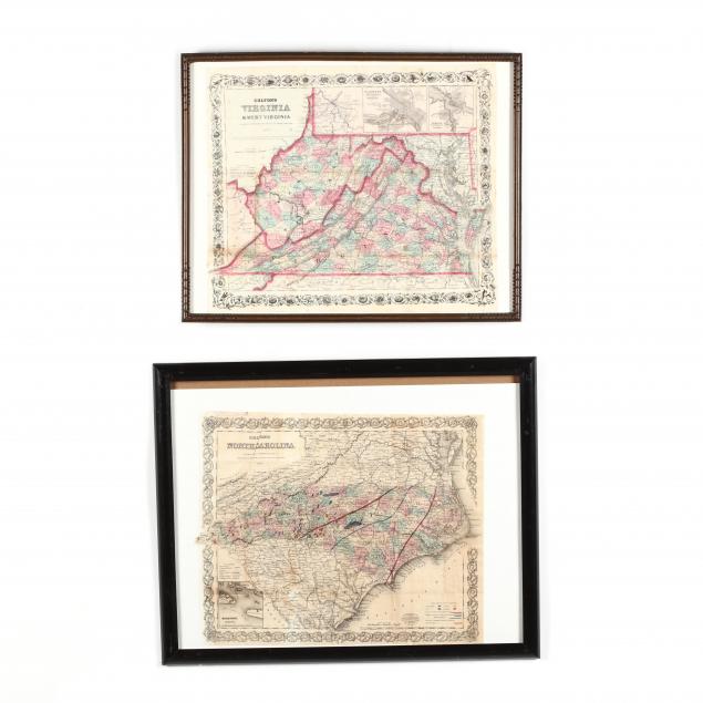
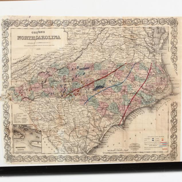
The North Carolina map, published in 1869, outlines the state's deposits of coal, iron, gold and copper and is of special interest in that it is inscribed "
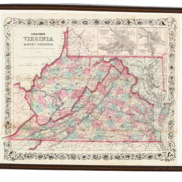
H. Hall / Mebanesville N.C., the lower left has an inset map of Beaufort, modern plastic frame (DOA 17.25 x 21.5) (some age toning, very good condition); the Virginia/West Virginia map, published in 1872, has inset maps of Richmond and Norfolk, presented in early 20th century wooden frame, retains its original traveling cover in envelope on the frame's back (DOA 15 x 19 in.) (some stains; good condition).
Estate of the Late Bob Whitfield, Chapel Hill, North Carolina