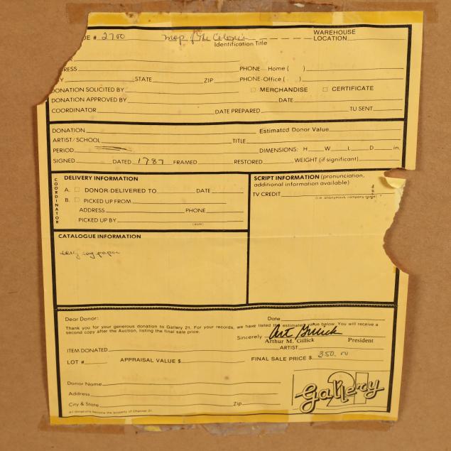
Lot Details & Additional Photographs
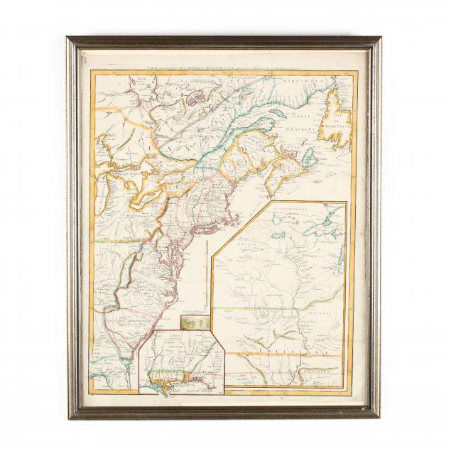
Le Rouge, George-Louis.
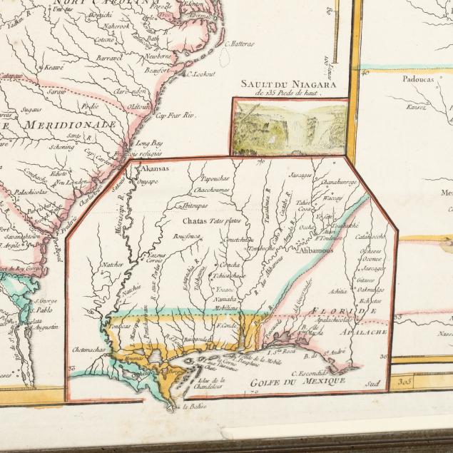
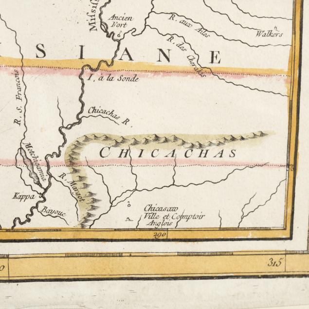
Carte D'Une Partie De L'Amérique Septentrionale, pour fervir a l'Histoire de la derniére Guerre (Paris, 1787), copperplate engraving with color, depicting eastern North America from the Gulf of St. Lawrence southward to northern Florida; two inset maps variously show the Mississippi River basin and the Gulf coast between Louisiana and Florida; a third inset depicts a small engraving of Niagara Falls; manuscript dated 1787 in lower right margin. Presented in subtle silver-toned wooden frame.
DOA 28 x 23 in.; Sheet 21 x 25.75 in.
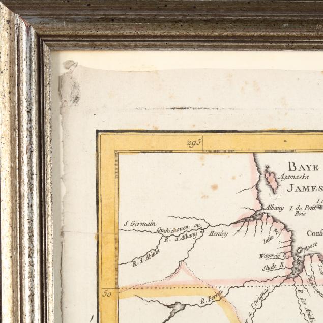
Full margins; fold creases; strong color.