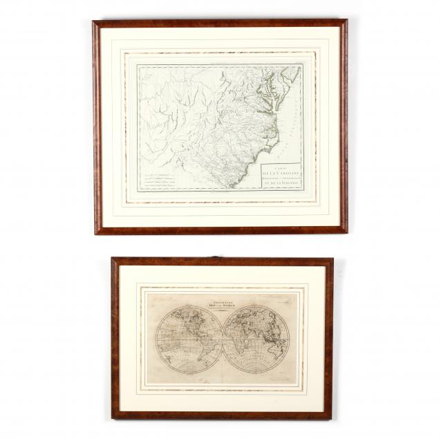
Lot Details & Additional Photographs
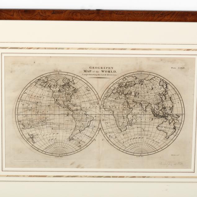
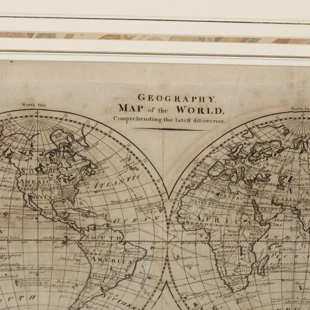
The first a double-hemisphere map of the world after A. Bell, circa 1790, engraved by W. Barker, possibly an American prototype for Carey's Atlas (SS 9 x 15 in.; DOA 16.5 x 22.5 in.); the second map Being
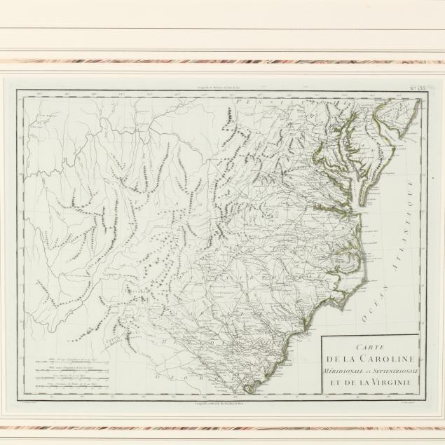
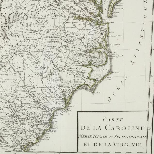
Carte de la Caroline Méridionale et Septentrionale et de La Virginie French, late 18th century, showing much of the Southeast (SS 13.75 x 17.75 in.; DOA 21.75 x 25.75 in.). Presented in conforming wooden frames.
Private Collection of a North Carolina Gentleman Both maps with fold lines from atlas creasing; the smaller map with some damp stains.