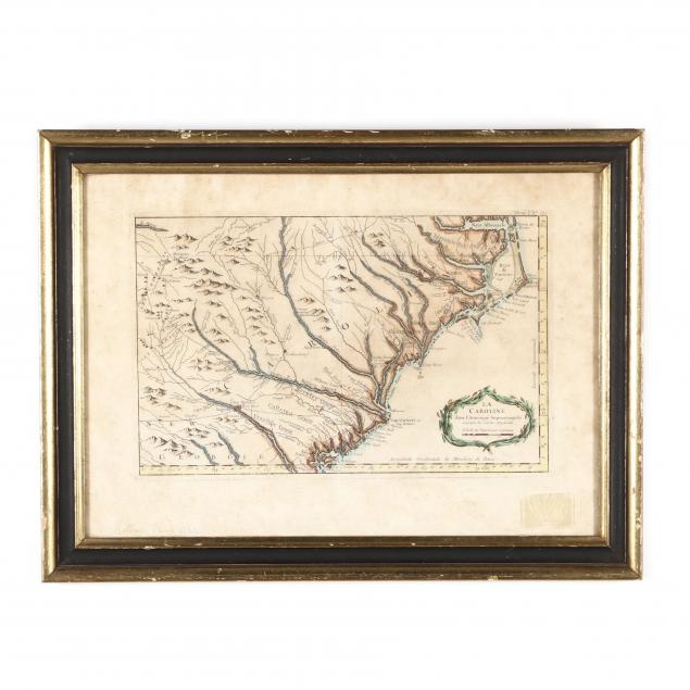
Lot Details & Additional Photographs
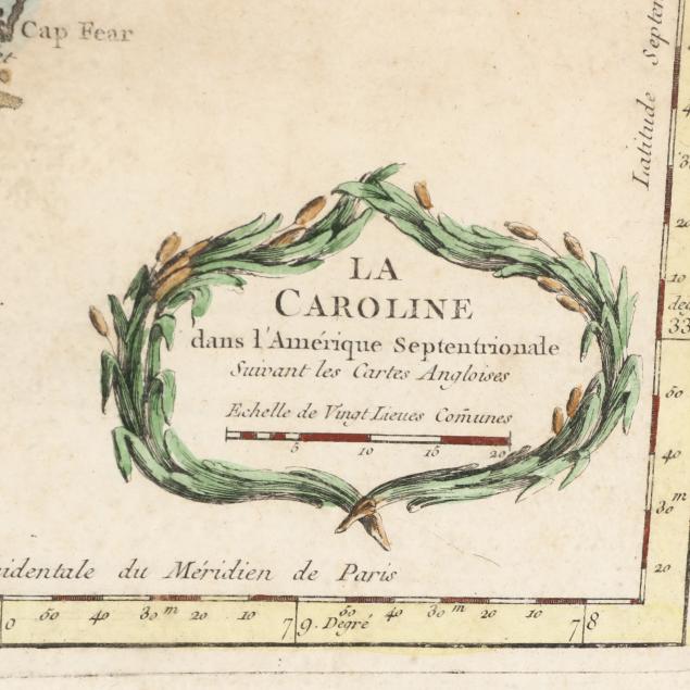
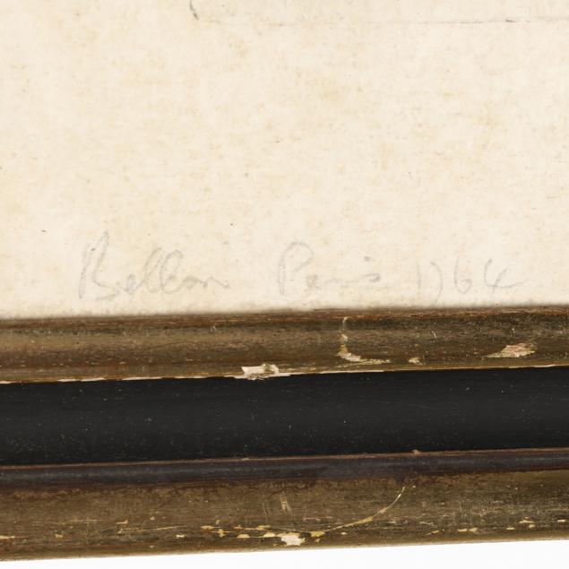
La Caroline dans l'Amérique Septentrionale Suivant les Cartes Angloises from
Le Petit Atlas Maritime (Paris, 1764), copperplate engraving with outline color, depicting the area between Albemarle Sound in North Carolina and the Savannah River between South Carolina and Georgia; presented in a gilt wooden frame having a mid-20th century label from Young's of Richmond, Virginia.
Plate size 9.25 x14.25 in.; Frame dimensions 15.5 x 20.5 in.
Overall age toning with some light foxing; properly framed and not laid down; good condtion.