Lot 229
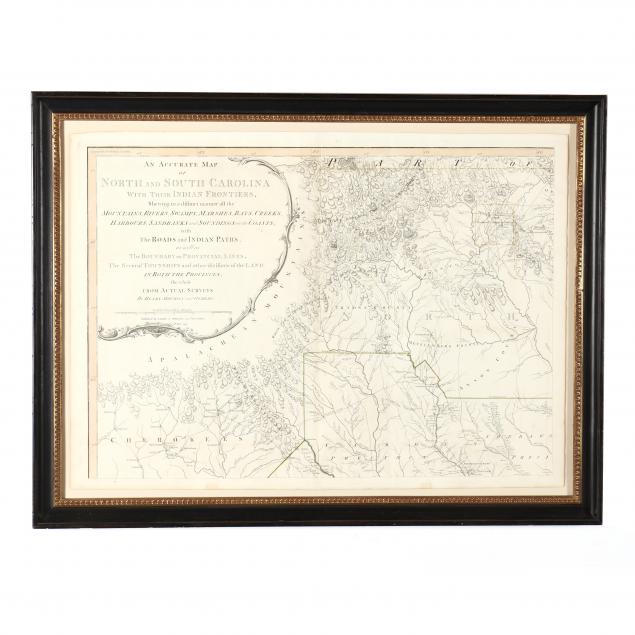
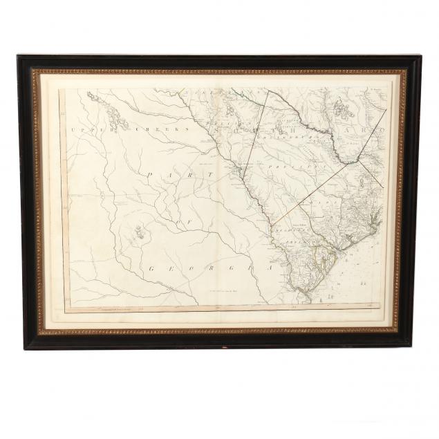
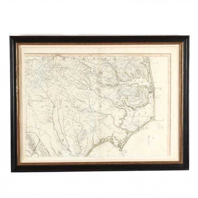
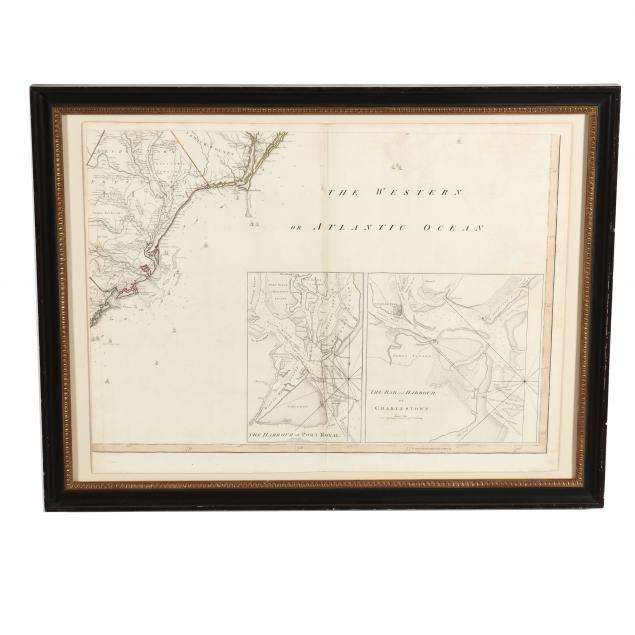
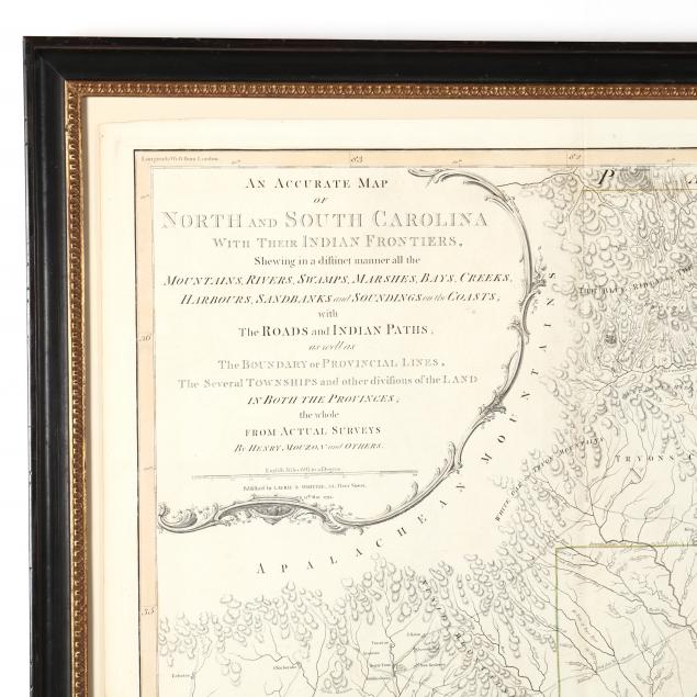
The Rare 1794 Edition of Mouzon's Celebrated Map of the Carolinas
Lot Details & Additional Photographs
Publishers Laurie and Whittle used original 1775 Sayer & Bennett Mouzon plates with an updated cartouche for the 1794 edition of Thomas Jeffery's American Atlas. The lower margin of the present example's northeast quadrant, however, still has a 1775 publisher's line, which initially suggested this map could be a possible marriage of sheets from different editions. Two complete and original 1794 volumes of the American Atlas were consulted for comparison, one in the Special Collections Library at the University of Virginia and the other in private hands. Both of these bound Carolina maps have the 1794 Laurie & Whittle cartouche while retaining a 1775 line in the northeast quadrant, thus making a strong case that our Mouzon map is a true and complete 1794 edition as issued.
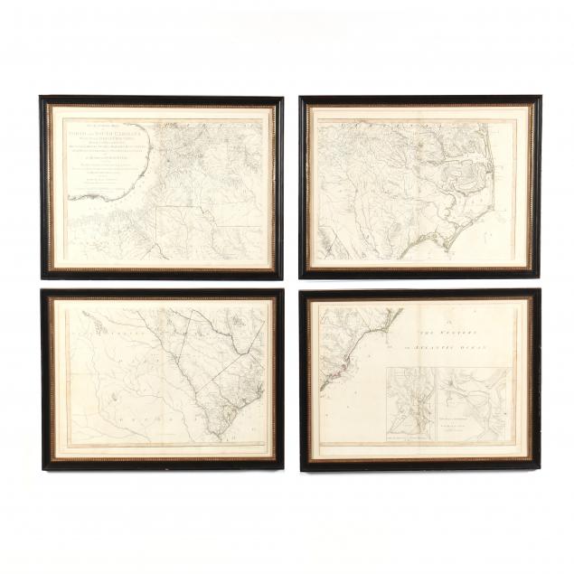
Sheets vary slightly, averaging 21-1/2 x 29-1/2 in.; Frame dimensions 26 x 34 in.
Private Collection, Virginia
The Mouzon maps are valued for their accuracy and firsthand association with the American Revolution in the Carolinas. Heavily relied upon in the field by top strategists on both sides of the war, the Mouzon map saw widespread use into the early 19th century. The 1794 edition is much rarer than its predecessors.
All sheets retain margins though the southeastern map is trimmed close to the impression on the left side; overall age toning with gentle browning to the edges; very good condition.
$4,000 - 6,000