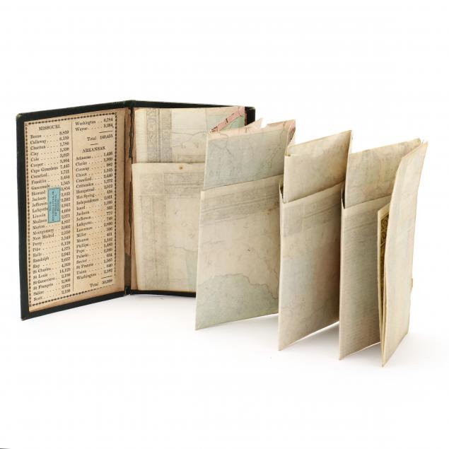
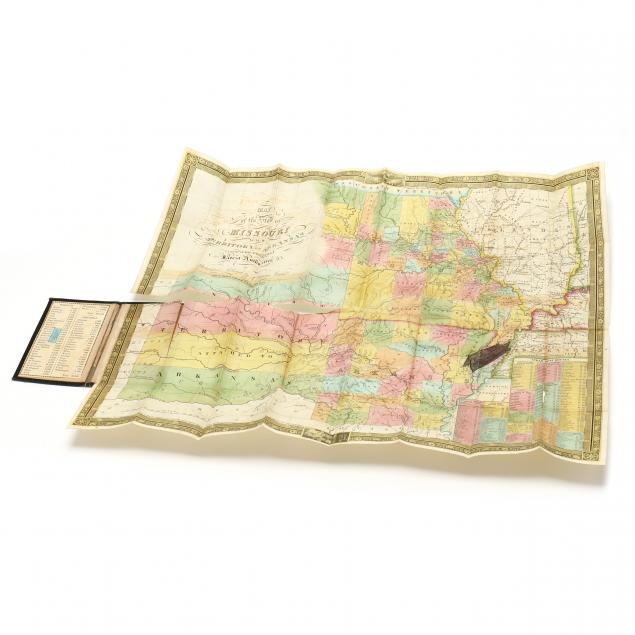
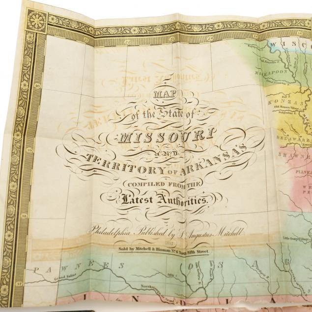
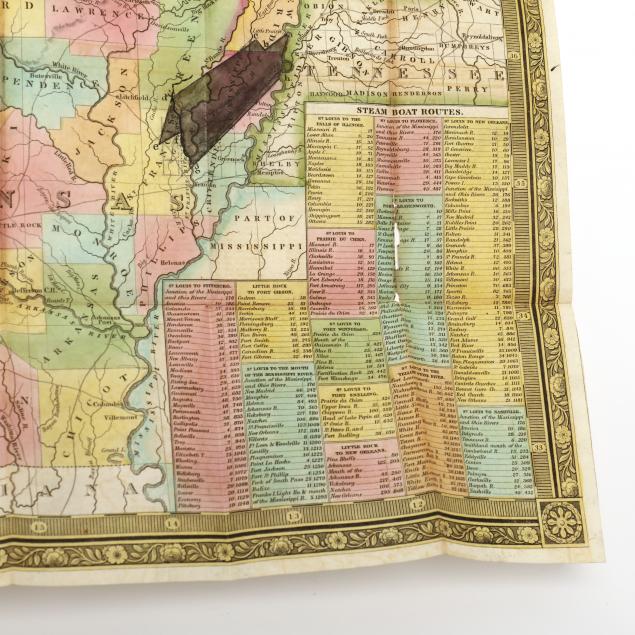
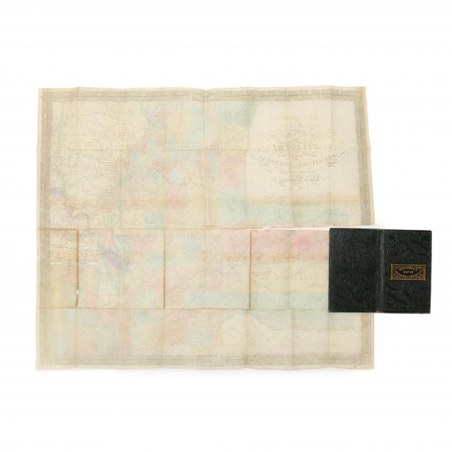
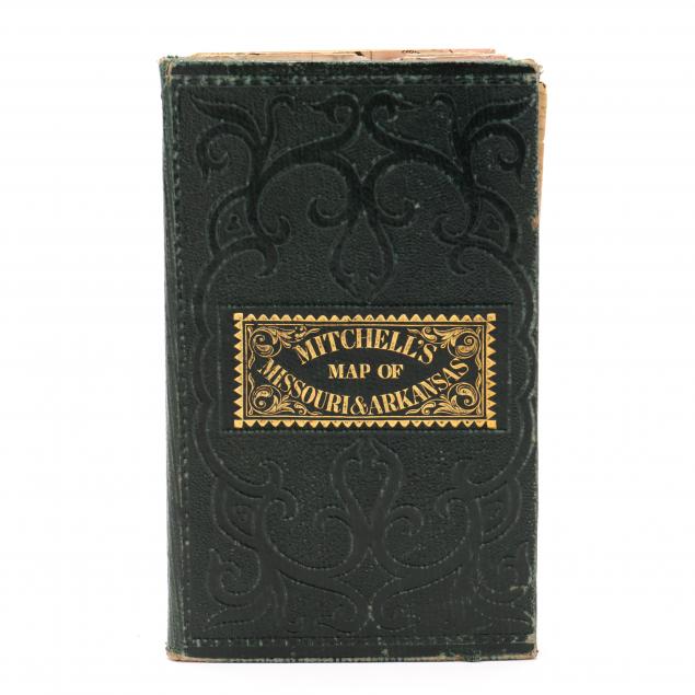
mitchell-s-folding-map-of-missouri-and-arkansas-the-very-rare-1837-edition
Lot 625
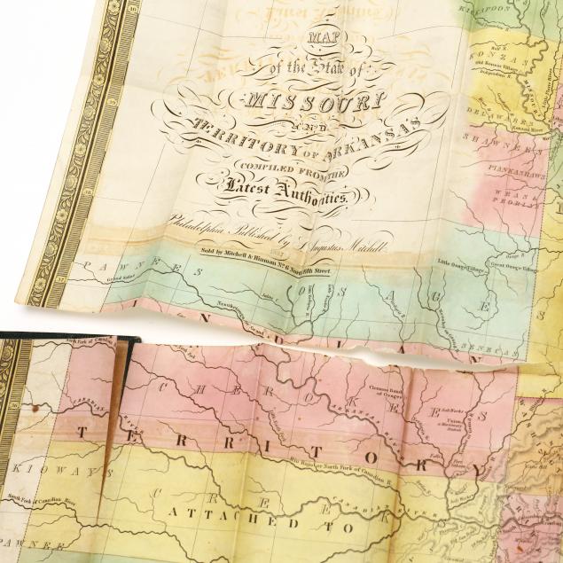
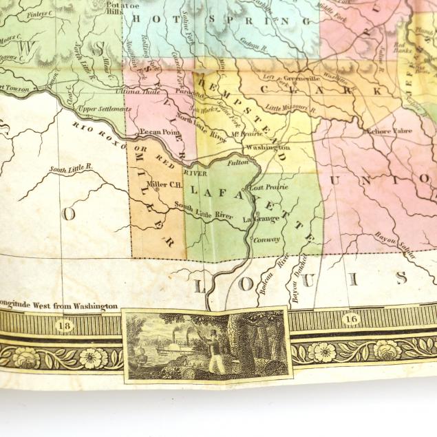
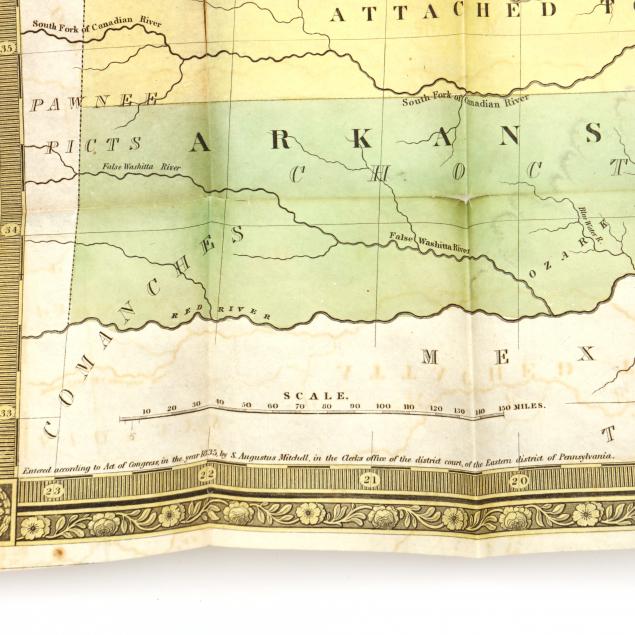
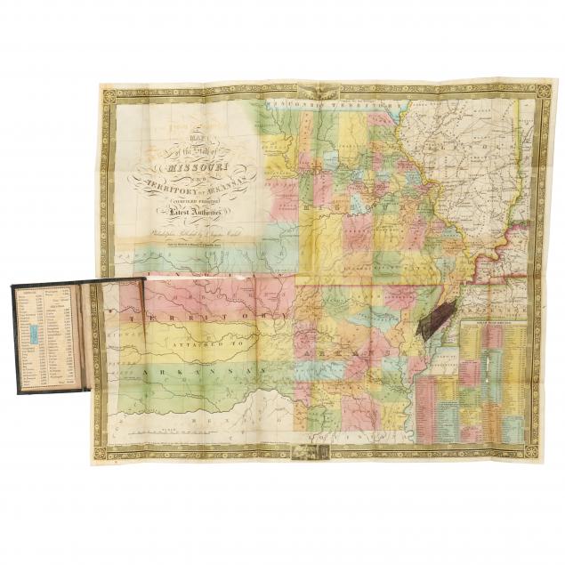
Mitchell's Folding Map of Missouri and Arkansas, the Very Rare 1837 Edition
Lot Details & Additional Photographs
Mitchell, Augustus. Map of the State of Missouri and Territory of Arkansas Compiled from the Latest Authorities (Philadelphia: S. Augustus Mitchell, 1837), steel engraving with color; folds into embossed board boards having gilt title on the cover (5-1/2 x 3-1/2 in.); inside front cover with a population tally by county and affixed with a Baltimore bookseller's label; map's lower right with a detailed listing of Missouri and Arkansas "Steam Boat Routes."

Extensive split along central horizontal fold; other minor scattered splits at several fold intersections; retains good color; light wear to boards; an excellent candidate for framing or restoration.