Lot 2098
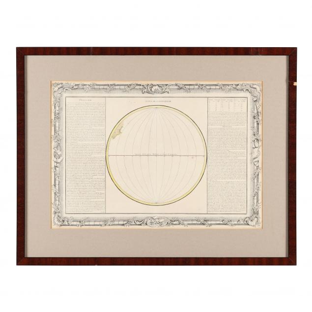
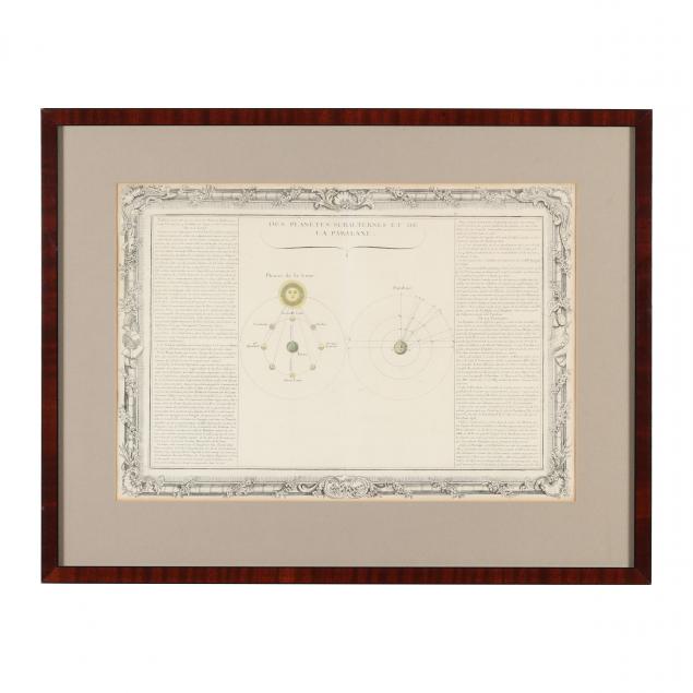
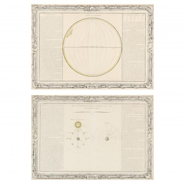
Two Early French Charts, Showing Lunar Phases and Earth's Ranges of Longitude
Explore more items like this one.
Visit our Historical Department Historical
Lot Details & Additional Photographs
From the Collection of Mr. & Mrs. Harry Trimborn, Raleigh, North Carolina
The longitude map in frame without glass and having areas of veneer loss; both maps with browning to edges; very good condition.