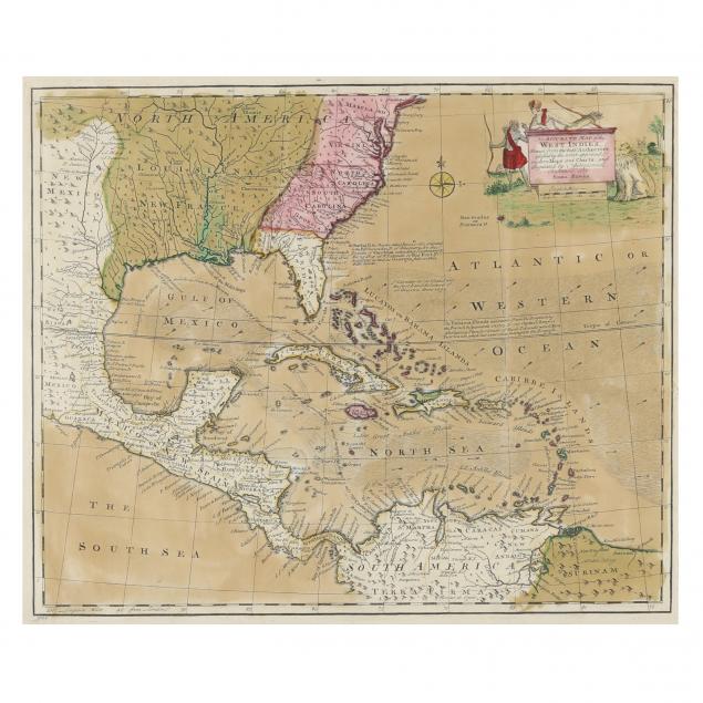
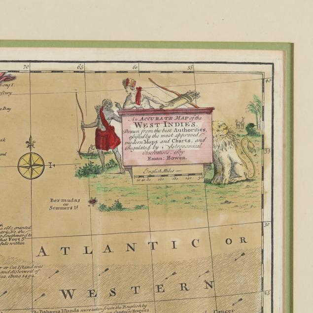
Emanuel Bowen's An Accurate Map of the West Indies
Lot Details & Additional Photographs
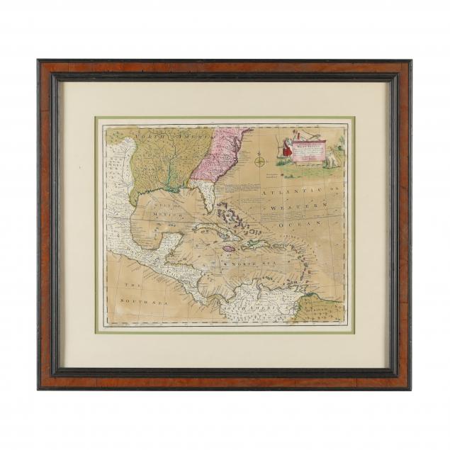
Mid-18th century, copperplate engraving with hand color; the territory covered is vast as it stretches from Maryland to South America; of particular interest are the published routes of Spanish treasure fleets heading east from Mexico and Colombia. Presented in a modern two-toned wooden frame.
Overall dimensions 22-1/2 x 25-1/4 in.
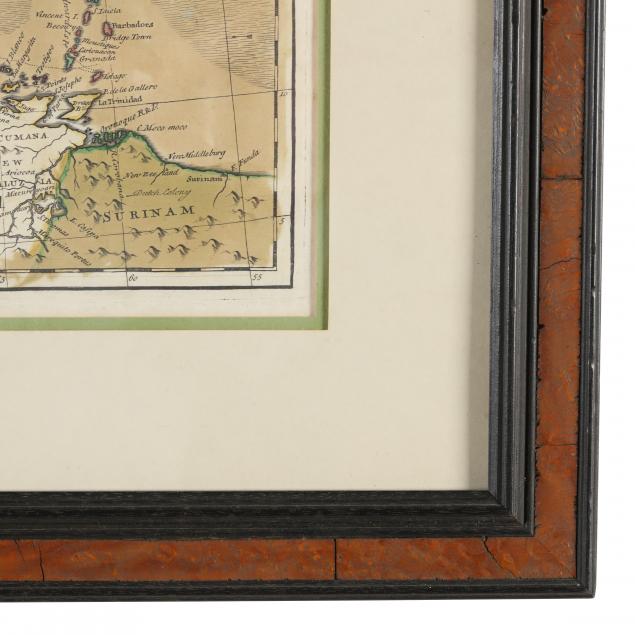
Professionally matted and framed without being laid down to a board; very good estate condition.