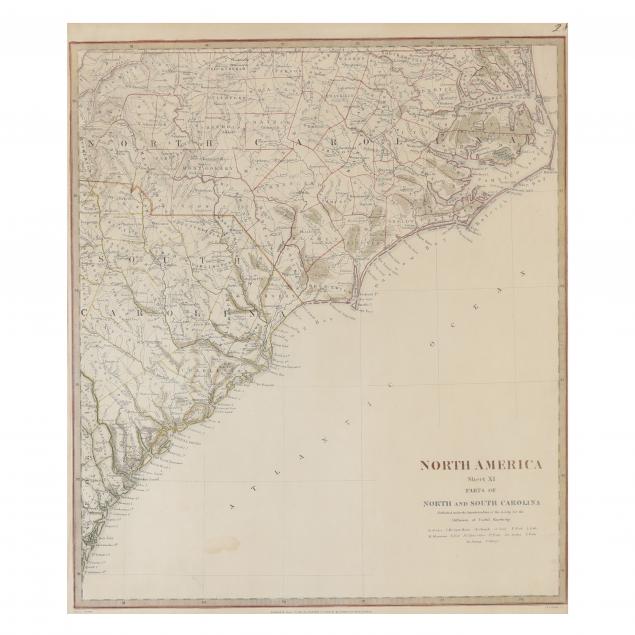
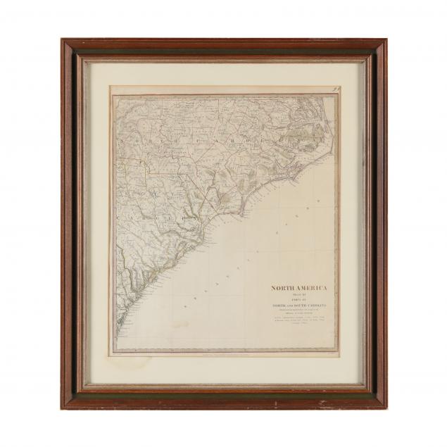
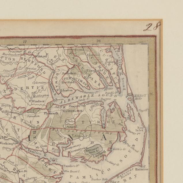
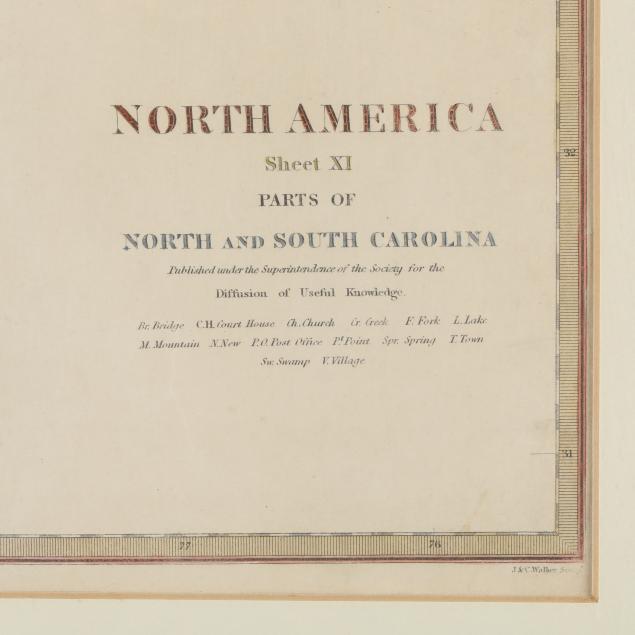
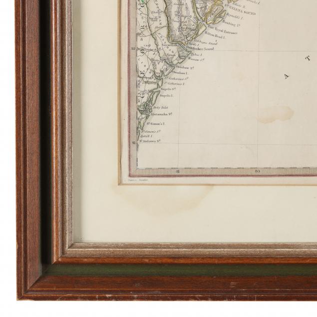
An Early 19th Century English Map of the Carolinas
Lot Details & Additional Photographs
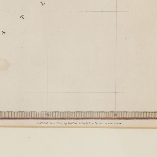
(London: Baldwin & Cradock,1833), being North America Sheet XI Parts of North and South Carolina for the Society for the Diffusion of Useful Knowledge. Presented in a wooden frame.