Lot Details & Additional Photographs
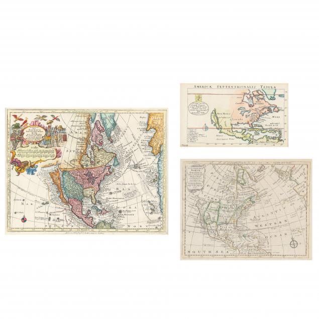
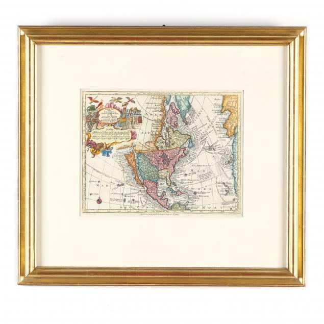
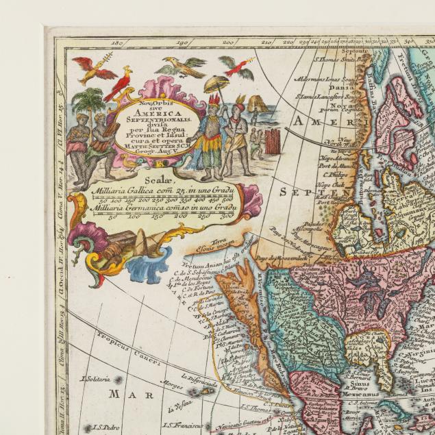
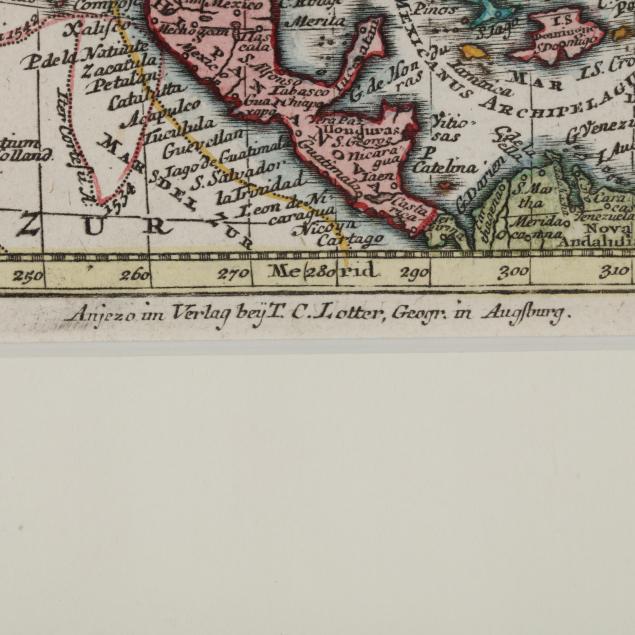
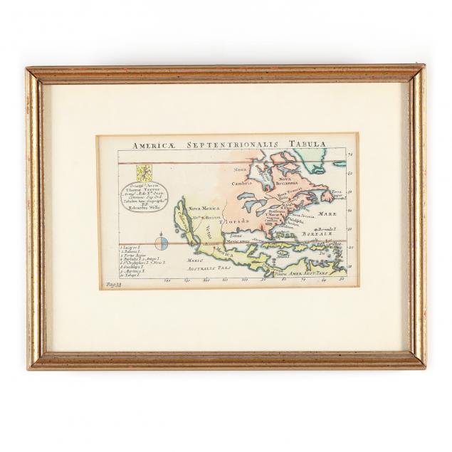
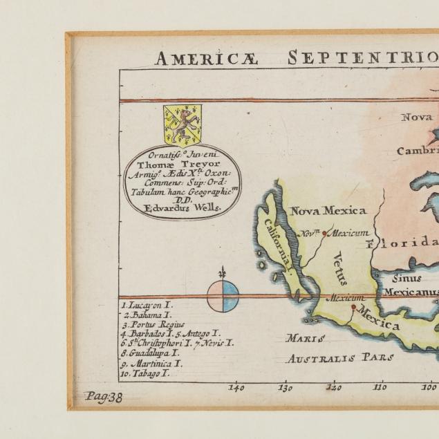
All copperplate engravings with hand color, to include: Wells, Edward.
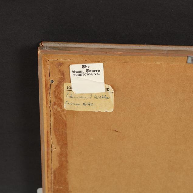
Americae Septentrionalis Tabula, early 18th century, from a period work dedicated to Thomas Trevor, presented in gilt wooden frame (8-1/4 x 10-3/4 in. overall); plus Seutter, Matthias.
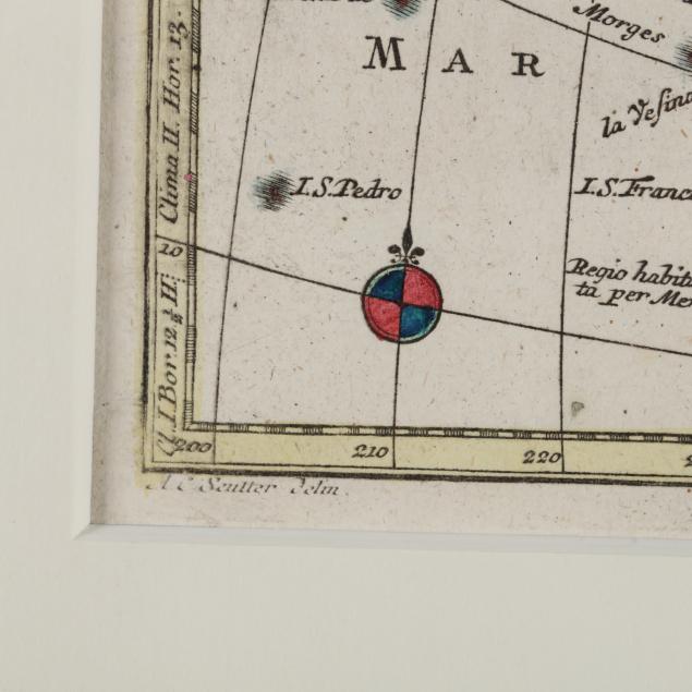
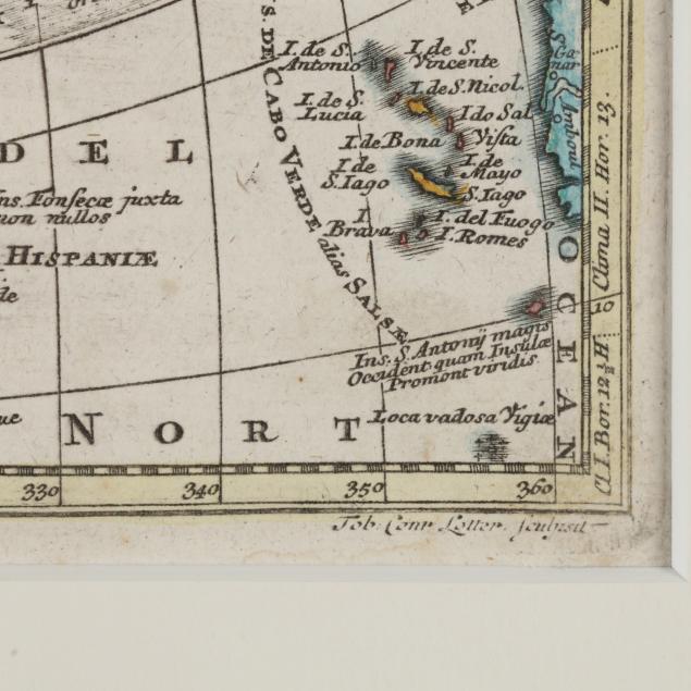
Nova Orbis Sive America Septentrionalis (Augsburg, mid-18th century), in gilt wooden frame (16-1/2 x 18-3/8 in. overall), purchased from Arader Galleries, framed elsewhere; plus Bowen, Emmanuel.
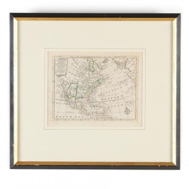
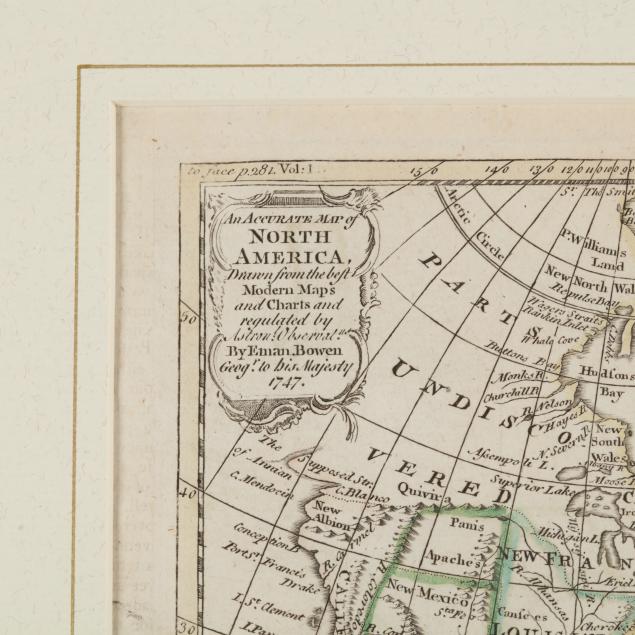
An Accurate Map of North America Drawn From the Best Maps and Charts... (London, 1747), some ink offset on right side of sheet, in painted and gilt wooden frame (14-3/4 x 16 in. overall).
Private Collection of an Antiquarian, Charlotte, North Carolina Minor chips to the Bowen map's frame; toned paper; the maps in very good condition.