Lot 4205
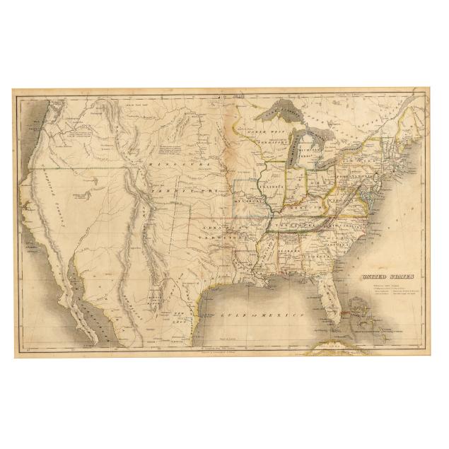
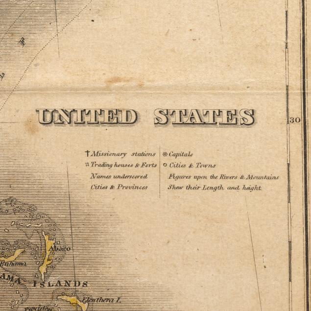
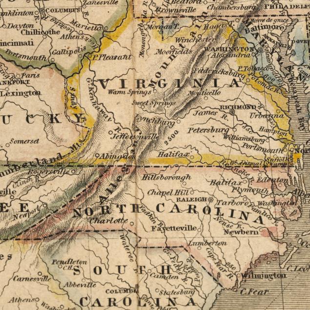
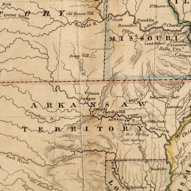
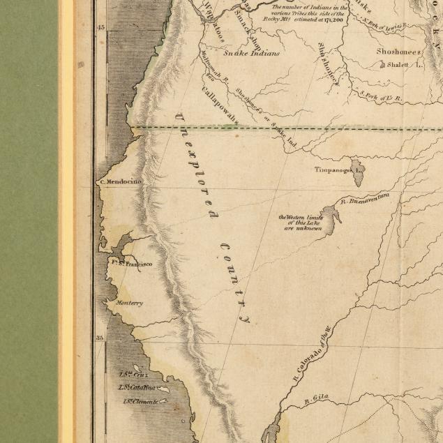
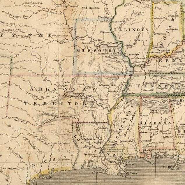
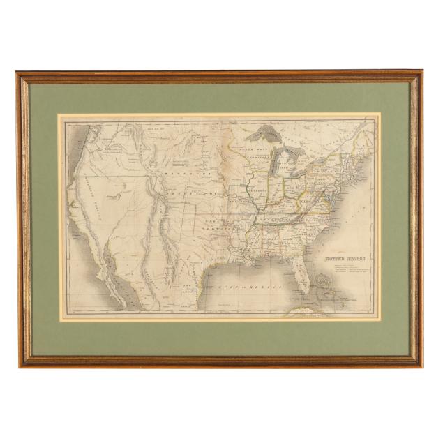
An Early-19th-Century Map of the Expanding United States
Explore more items like this one.
Visit our Historical Department Historical
Lot Details & Additional Photographs
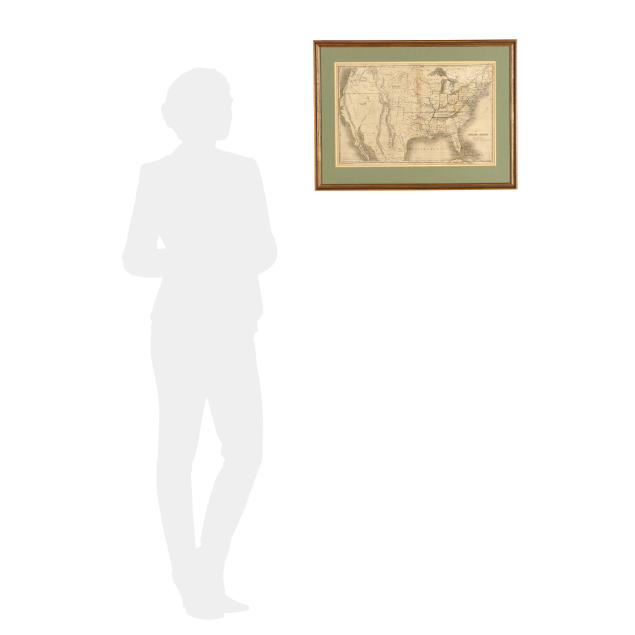
Sight size 12 1/8 x 18 7/8 in.; Frame dimensions 18 x 24 1/2 x 3/4 in.
From a Private Chapel Hill, North Carolina Collection
Similar to their wall maps for which Huntington and Willard were known, this smaller map presents the same interest in exploration and expansion that exemplifies this period of U.S. history.
With toning, a few small stains and spots of foxing, and an area of browning at the center; horizontal and vertical fold lines, likely as issued, with some areas of separation and a couple of small areas of wear and small tears at the folds; unable to be examined outside the frame, located between two mats, likely laid down.