Lot 5251
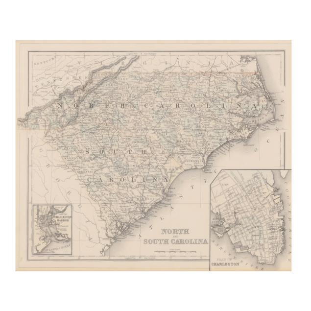
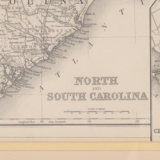
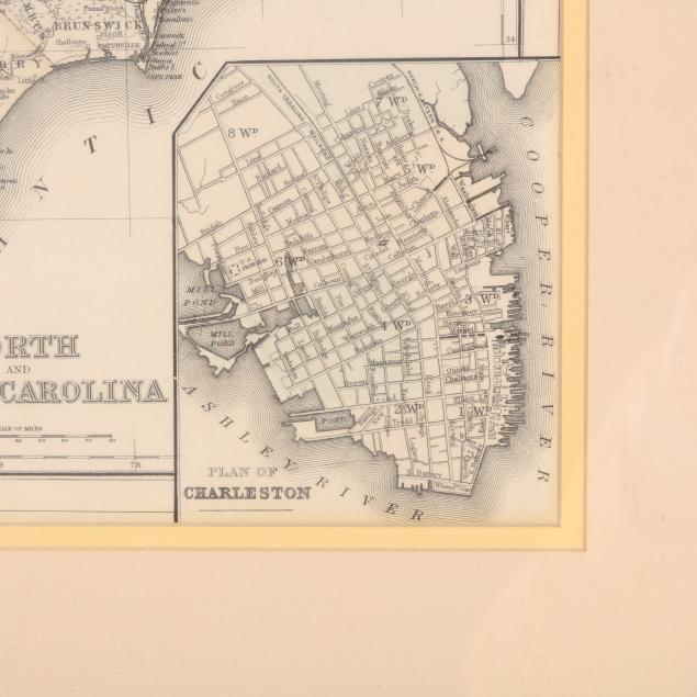
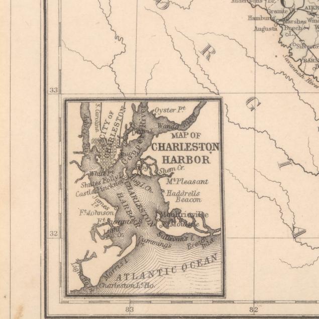
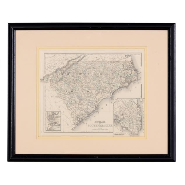
A Late-19th-Century Map of North and South Carolina
Lot Details & Additional Photographs
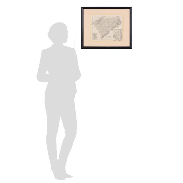
Sight size 11 1/8 x 13 5/8 in.; Frame dimensions 17 5/8 x 21 5/8 in.
Not laid down; one corner with minor creasing and a small stain; some debris caught under glass; not examined outside the frame.