very-rare-intact-first-edition-of-dix-and-darton-s-english-county-atlas
Lot 486
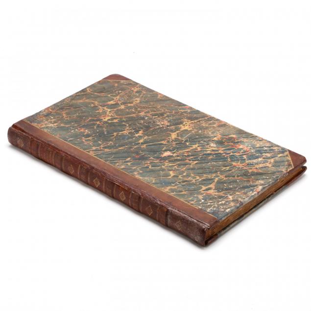
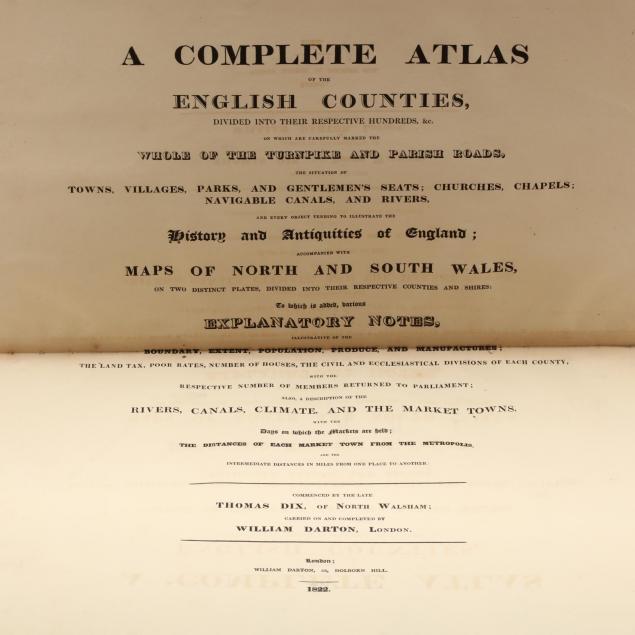
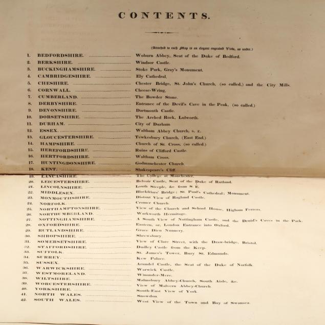
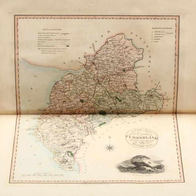
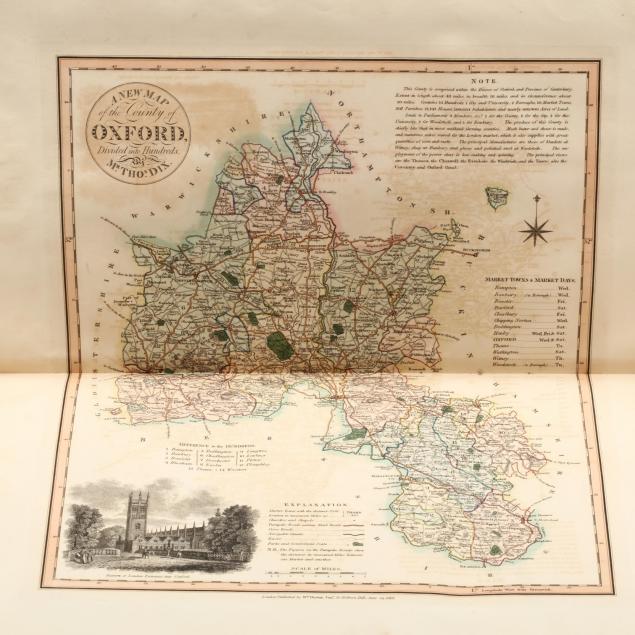
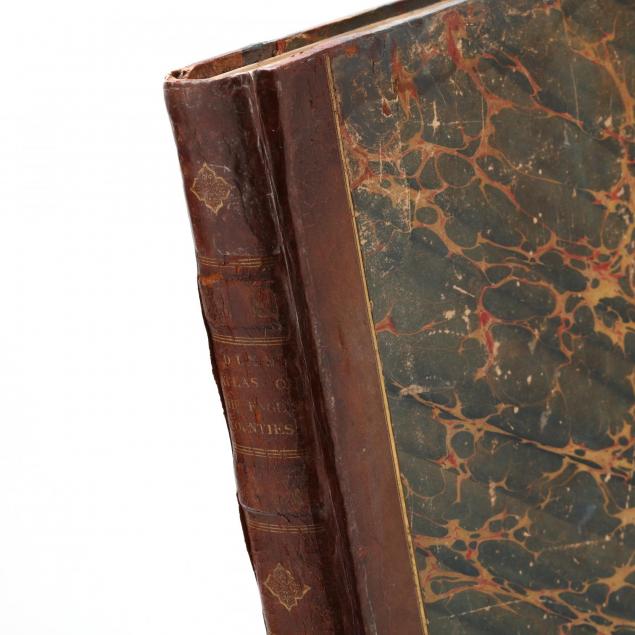
Very Rare Intact First Edition of Dix and Darton's English County Atlas
Lot Details & Additional Photographs
Dix, Thomas and Darton, William, A Complete Atlas of the English Counties Divided Into Their Respective Hundreds &c. on which are carefully marked the whole of the turnpike and parish roads...and the intermediate distances in miles from one place to another. (London: William Darton, 1822), folio (18.75 x 12.5 in.), three-quarter calf over marbled boards, the spine with gilt title plate and raised bands. A dedication to George IV and a contents listing precede a collection of forty-two hand-colored maps, each of which is illustrated with a marginal vignette representing a scene from the county depicted. Thirty-nine of the maps open to spreads of 18 3/8 x 21.75 in.; maps 40 (Yorkshire); 41 (North Wales) and 42 (South Wales) unfold to 26.5 x 33.5 in.

Maps from this edition are usually found disbound and offered individually.

Shelf wear with minor losses to calf on the spine; pastedowns and endpapers are modern replacements; the upper right margin of each map is numbered in pencil; expected age toning and light soiling; colors remain bright and the binding is tight. Overall very good.

$2,000 - 4,000