two-19th-century-maps-showing-illinois
Lot 4070
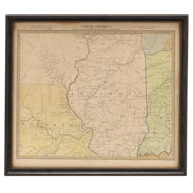
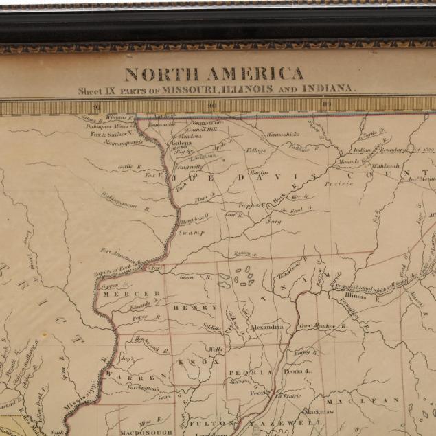
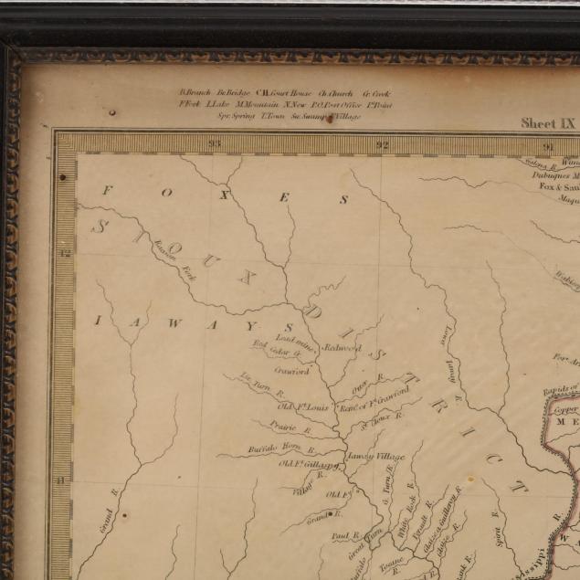
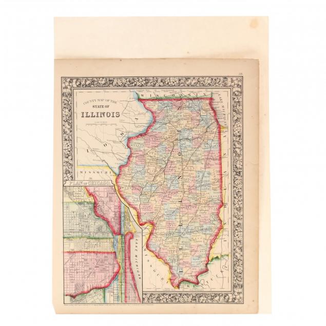
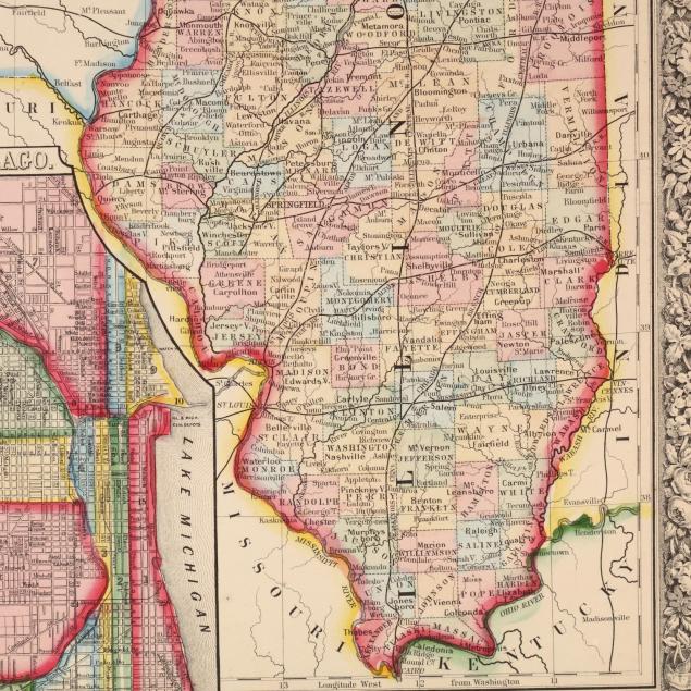
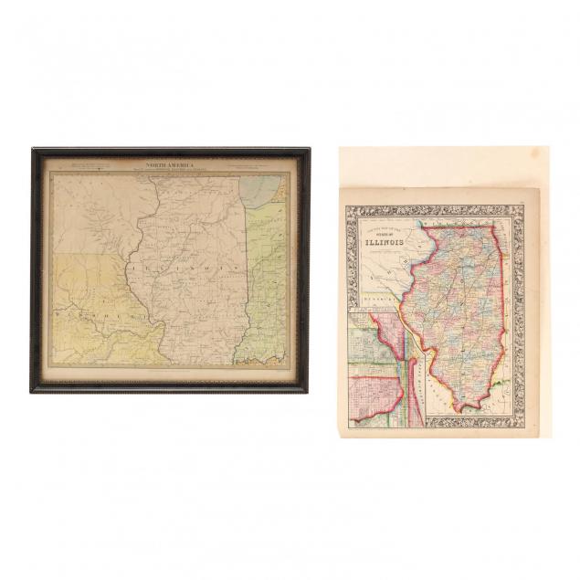
Two 19th Century Maps Showing Illinois
Lot Details & Additional Photographs
The first being North America / Sheet IX Parts of Missouri, Illinois and Indiana (London: Baldwin & Gradock, 1833), Iowa is present as the "Sioux District." In black wooden frame (14.75 x 16.25 in. DOA); the second, County Map of the State of Illinois (Philadelphia: S. Augustus Mitchell, 1861), with Chicago plat inset, unframed (15.25 x 12.25 in.).

Private Collection of a Gentleman, Southern MS

Age toning; very good condition.