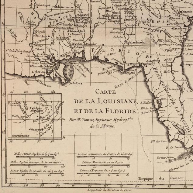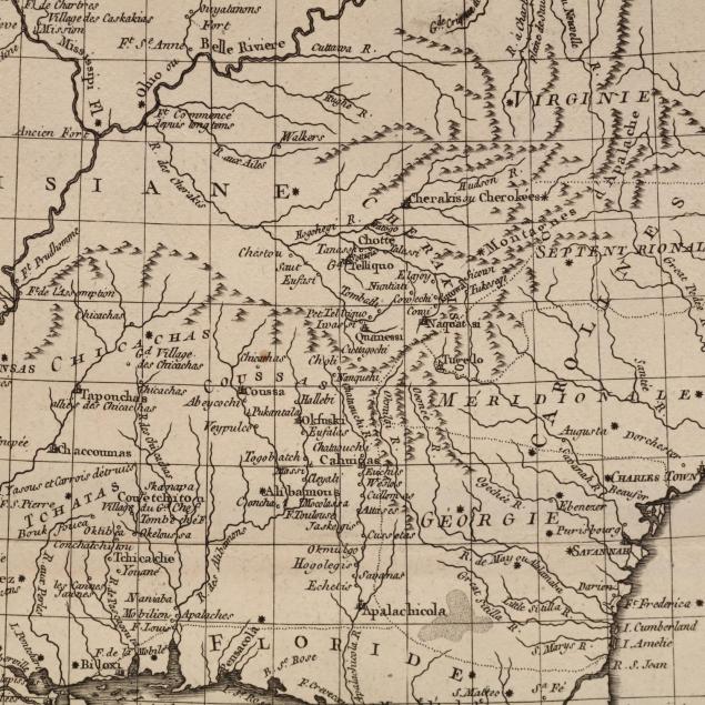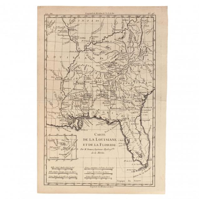
Lot 4028
Bonne Map of Louisiana and Florida
Explore more items like this one.
Visit our Historical Department Historical
Lot Details & Additional Photographs
Sheet size 9.5 x 13.75 in.
Private Collection of a Gentleman, Southern MS
A crisp, strong strike; one pin point stain; overall very fine condition