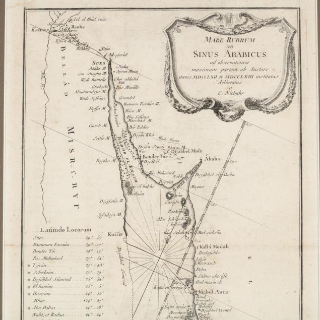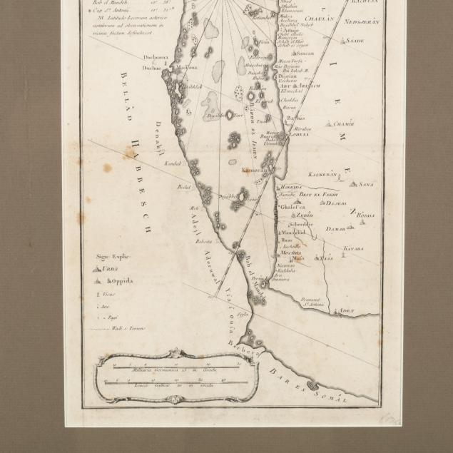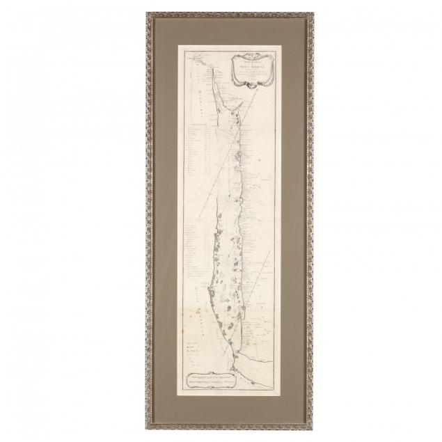
Lot 156
Carsten Niebuhr Map of the Red Sea
Explore more items like this one.
Visit our Historical Department Historical
Lot Details & Additional Photographs
DOA 38 x 15.25 in.
Three fold creases; not examined out of the frame.