two-18th-century-carsten-niebuhr-near-eastern-maps
Lot 157

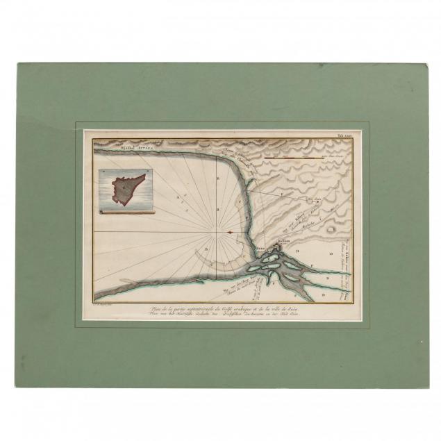
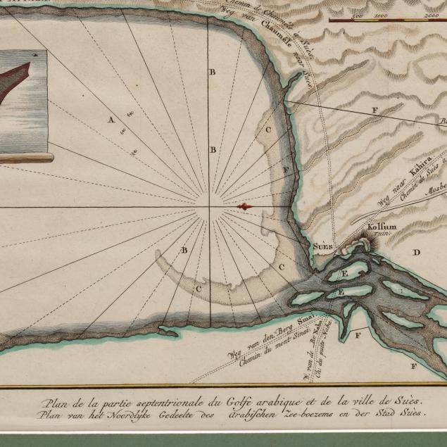
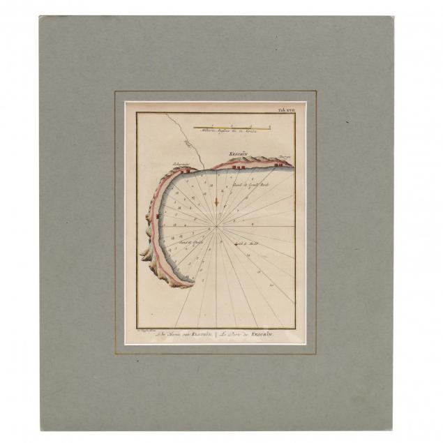
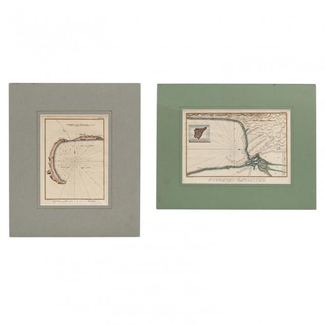
Two 18th Century Carsten Niebuhr Near Eastern Maps

Explore more items like this one.

Visit our Historical Department Historical
Lot Details & Additional Photographs
Hand-colored copperplate engravings (Amsterdam, 1774), to include Le Port de Keschin (SS 8.25 x 6 in.; DOA 14 1/8 x 12 1/8 in.) and Plan de la partie...de la ville de Sués (SS 8.25 x 12 in.; DOA 14.25 x 18 in.). Both maps are professionally placed behind mats with a label from The Map House, London (which dates them to 1794 on the verso of each map). Unframed.

Light folding crease to each, else very fine appearance.