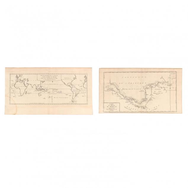
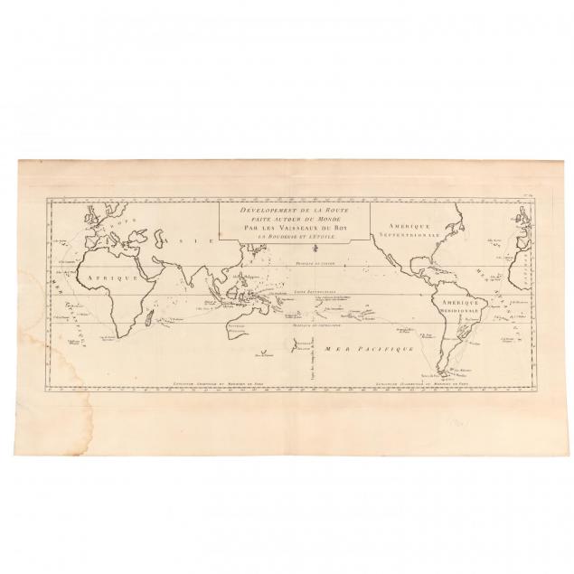
Both copperplate engravings of routes taken by the French warships La Boudeuse and L' Etoile as they circumnavigated the globe,1766-1769. The first map depicts the Straits of Magellan (12 x 22 in.), whereas the second map shows the entire voyage (12.5 x 23 in.), unframed.