Lot Details & Additional Photographs
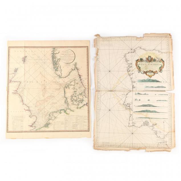
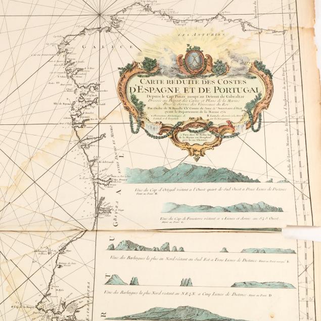
Hand-colored copperplate engravings as follows: Bellin, Jacques-Nicolas.
Carte Reduite Des Costes D'Espagne et de Portugal, Paris, 1751 (36 x 23.5 in.) (damp stains; numerous creases; uneven edges with chips and splits); De La Rochette. L.,
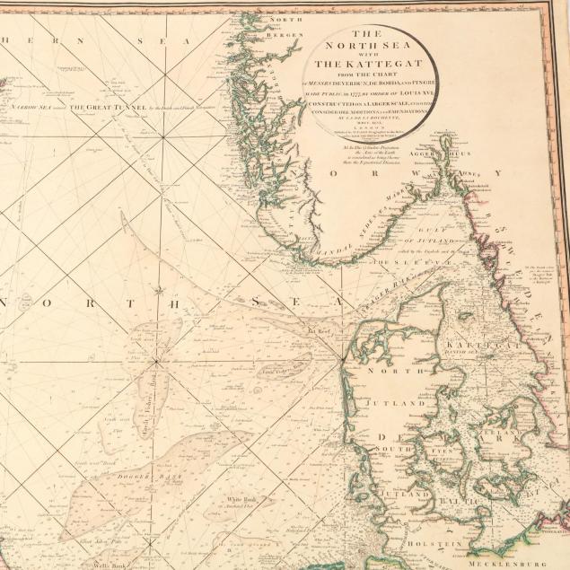
The North Sea and the Kattegat (London: W. Faden, 1796) (29.5 x 24.75 in.) (area of edge loss in lower right corner; small split to right edge; two tape remnants along lower edge).