Lot 343
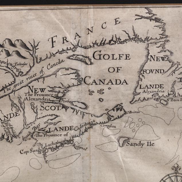
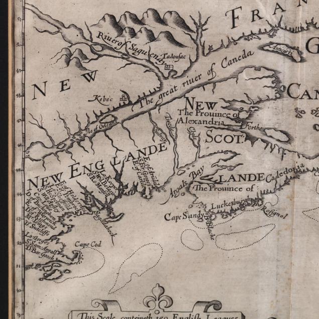
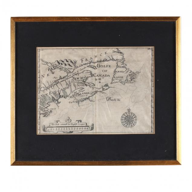
Sir William Alexander, 17th Century Map of Eastern Canada and New England
Explore more items like this one.
Visit our Historical Department Historical
Lot Details & Additional Photographs
Plate 10 x 13.5 in.; Sheet 12.75 x 15.75 in.; DOA with frame 17.25 x 19.75 in.
From the collection of the late Brien E. Kehoe, Washington, D.C.
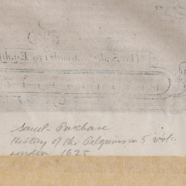
Trivial stains; taped to a mat with about .25 in. of tape into the sheet; the image area is not affected. Overall very good condition.
$1,000 - 2,000