emanuel-bowen-i-a-new-accurate-map-of-louisiana-i
Lot 350
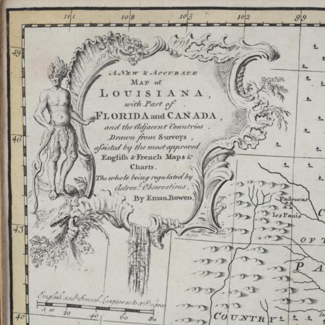
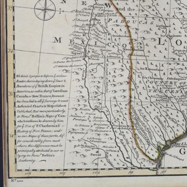
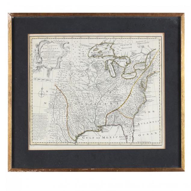
Emanuel Bowen, A New & Accurate Map of Louisiana...
Lot Details & Additional Photographs
...with Part of Florida and Canada and the Adjacent Countries Drawn from Surveys assisted by the most approved English & French Maps & Charts., copperplate engraving with outline color, from A Complete System of Geography (London, 1747). This map names the Great Lakes and shows the approximate locations of prominent Indian nations throughout eastern and central North America. Presented in a gilt wooden frame.

SS 14.25 x 16.75 in.; DOA 19.75 x 22 in.

From the collection of the late Brien E. Kehoe, Washington, D.C.

Clean with light age toning; losses to gilt on the frame.

$300 - 600